Transport Functions
Multimodal
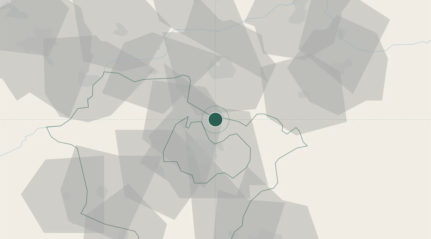
Hub Profile
Place type
Populated place
Region
Hajdú-Bihar
Population
6,285
Time zone
Europe/Budapest
Elevation
135 m
Location
Nearby Logistics Neighbours
Ports
- 1Braila555 km
- 2Senj603 km
- 3Bakar609 km
- 4Omisalj613 km
- 5Rijeka Luka614 km
Airports
Trade Zones
- 1Customs Free Zone Zahony84 km
- 2Transcarpathian Special Economic Zone (Zakarpattia)110 km
- 3Free Zone Curtici Arad155 km
- 4VGP Park Arad175 km
- 5Göd Special Economic Zone188 km
DatabookThe Record of Consolidated Knowledge
Hungary beyond logistics?