Transport Functions
Rail
Road
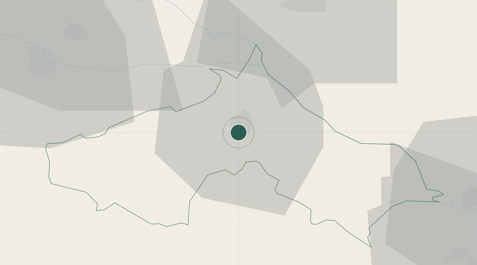
Hub Profile
Place type
Regional capital
Region
Koprivnica-Križevci
Population
22,262
Time zone
Europe/Zagreb
Elevation
118 m
Location
Nearby Logistics Neighbours
Cities
- 1Rasinja10 km
- 2Botovo11 km
- 3Ludbreg20 km
- 4Kotoriba22 km
- 5Murakeresztúr23 km
Ports
- 1Senj198 km
- 2Bakar201 km
- 3Omisalj204 km
- 4Rijeka Luka206 km
- 5Muggia244 km
Airports
Trade Zones
- 1Sjever Free Zone40 km
- 2Krapina-Zagorje Free Zone72 km
- 3PJ Free Zone Zagreb82 km
- 4Duro Daković Free Zone143 km
- 5Osijek Free Zone157 km
DatabookThe Record of Consolidated Knowledge
Croatia beyond logistics?