UN/LOCODE hub · Hungary
HUSAJ
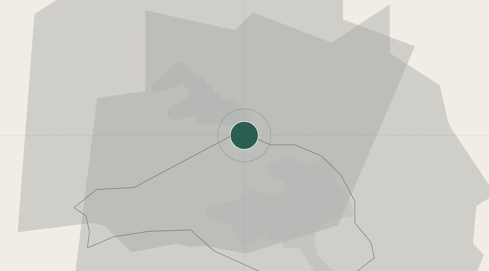
Sajószentpéter
48.2167°, 20.7167°
11,679
Population
2
Transport functions
Transport Functions
Rail
Road
Hub Profile
Place type
Populated place
Region
Borsod-Abaúj-Zemplén
Population
11,679
Time zone
Europe/Budapest
Elevation
125 m
Location
Nearby Logistics Neighbours
Cities
- 1Fuezesabony5 km
- 2Kazincbarcika6 km
- 3Izsofalva10 km
- 4Alsozsolca21 km
- 5Királd24 km
Ports
- 1Senj571 km
- 2Bakar572 km
- 3Rijeka Luka576 km
- 4Omisalj576 km
- 5Dugi Rat616 km
Airports
- 1Košice International Airport63 km
- 2Poprad-Tatry Airport101 km
- 3Debrecen International Airport105 km
- 4Uzhhorod International Airport123 km
- 5Sliač Airport126 km
Trade Zones
DatabookThe Record of Consolidated Knowledge
Hungary beyond logistics?