Transport Functions
Rail
Road
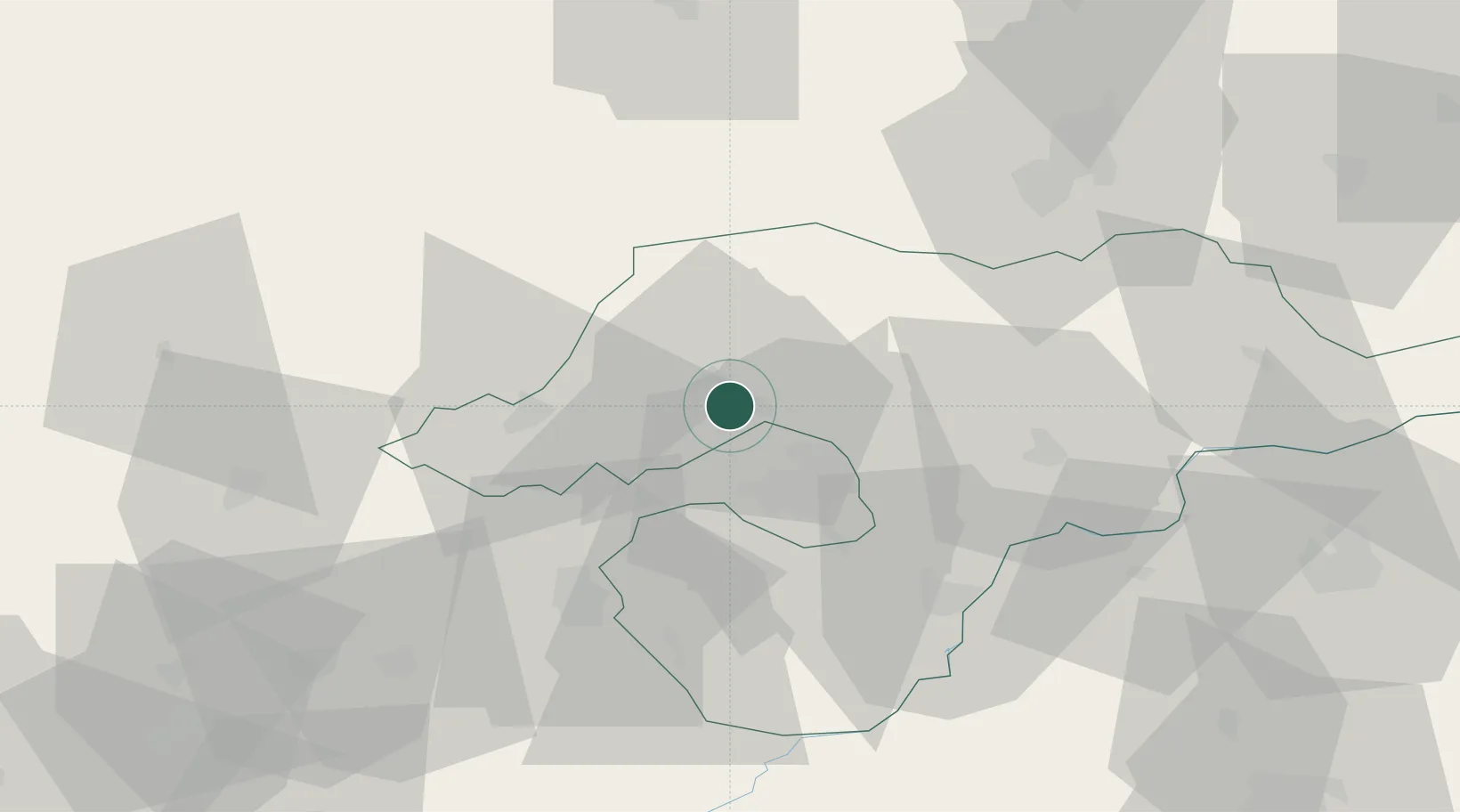
Hub Profile
Place type
Provincial seat
Region
Borsod-Abaúj-Zemplén
Population
32,396
Time zone
Europe/Budapest
Elevation
185 m
Location
Nearby Logistics Neighbours
Cities
- 1Fuezesabony1 km
- 2Izsofalva6 km
- 3Sajószentpéter6 km
- 4Királd19 km
- 5Perkupa24 km
Ports
- 1Bakar569 km
- 2Senj570 km
- 3Rijeka Luka573 km
- 4Omisalj574 km
- 5Zaliv Rasa615 km
Airports
- 1Košice International Airport63 km
- 2Poprad-Tatry Airport96 km
- 3Debrecen International Airport111 km
- 4Sliač Airport120 km
- 5Uzhhorod International Airport126 km
Trade Zones
DatabookThe Record of Consolidated Knowledge
Hungary beyond logistics?