Transport Functions
Multimodal
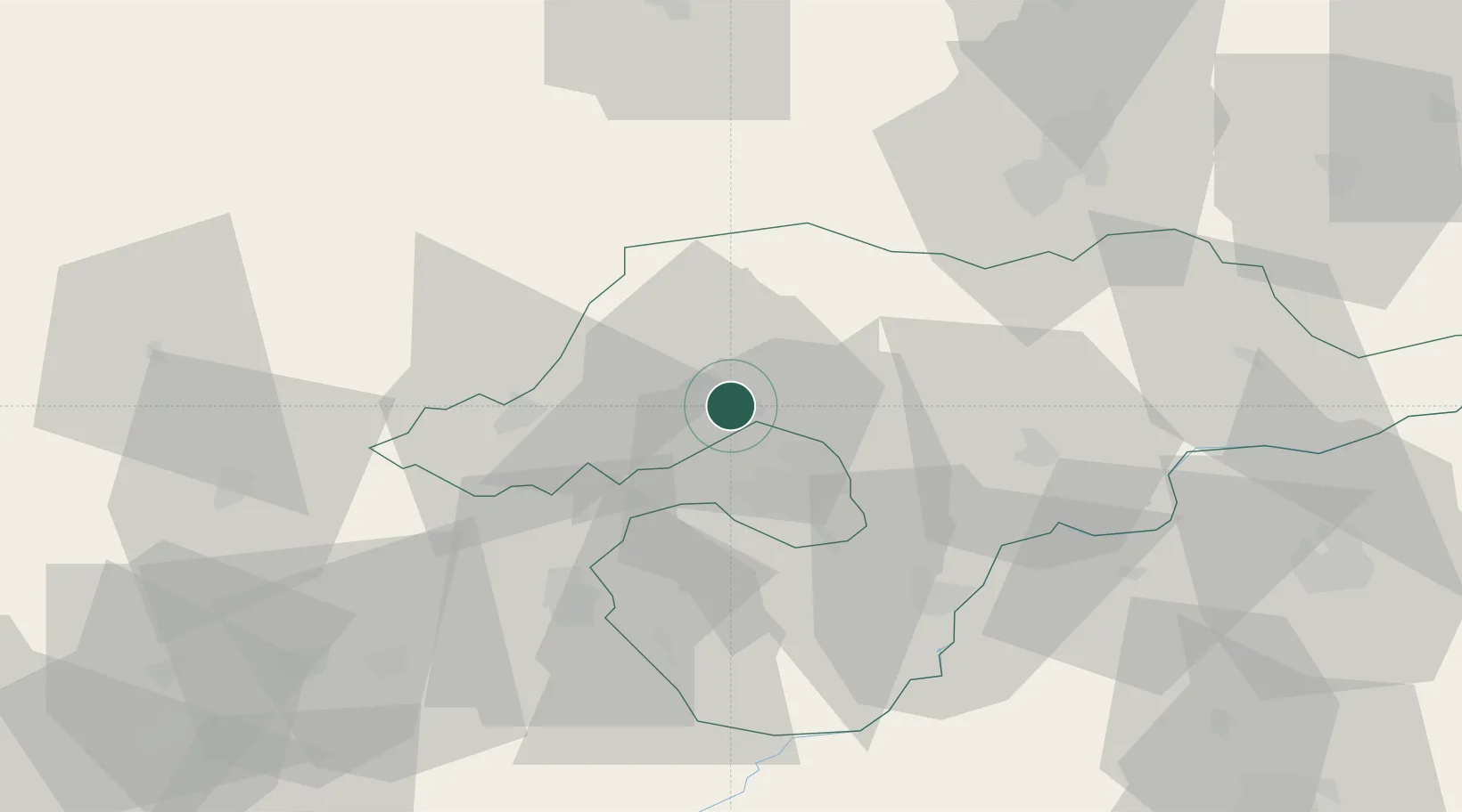
Hub Profile
Region
HE
Location
Nearby Logistics Neighbours
Cities
- 1Kazincbarcika1 km
- 2Sajószentpéter5 km
- 3Izsofalva6 km
- 4Királd20 km
- 5Perkupa24 km
Ports
- 1Bakar571 km
- 2Senj571 km
- 3Rijeka Luka575 km
- 4Omisalj575 km
- 5Zaliv Rasa616 km
Airports
- 1Košice International Airport63 km
- 2Poprad-Tatry Airport97 km
- 3Debrecen International Airport110 km
- 4Sliač Airport121 km
- 5Uzhhorod International Airport125 km
Trade Zones
DatabookThe Record of Consolidated Knowledge
Hungary beyond logistics?