Transport Functions
Multimodal
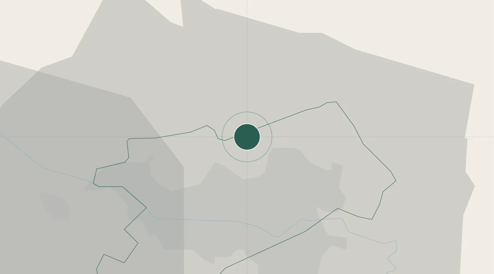
Hub Profile
Place type
Populated place
Region
Zagreb
Population
1,402
Time zone
Europe/Zagreb
Elevation
184 m
Location
Nearby Logistics Neighbours
Cities
- 1Bedekovcina13 km
- 2Zabok14 km
- 3Zagreb15 km
- 4Bestovje19 km
- 5Gornji Stupnik20 km
Ports
- 1Bakar133 km
- 2Senj135 km
- 3Omisalj137 km
- 4Rijeka Luka138 km
- 5Zaliv Rasa179 km
Airports
Trade Zones
- 1PJ Free Zone Zagreb16 km
- 2Krapina-Zagorje Free Zone28 km
- 3Sjever Free Zone49 km
- 4Free Zone Kukuljanovo133 km
- 5Port of Rijeka Free Zone158 km
DatabookThe Record of Consolidated Knowledge
Croatia beyond logistics?