Transport Functions
Multimodal
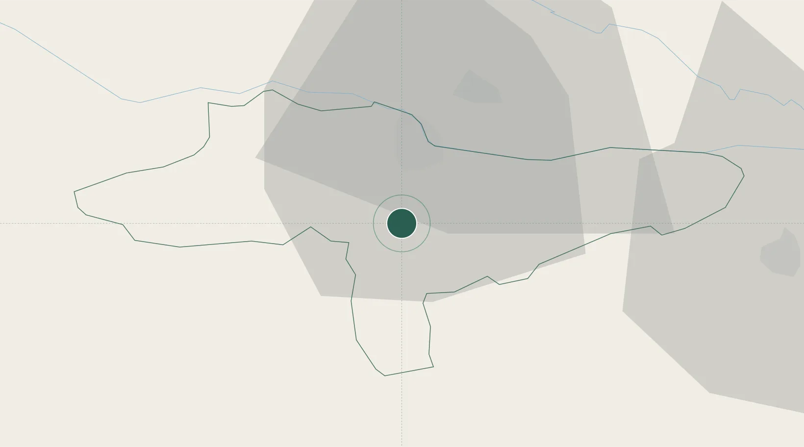
Hub Profile
Place type
Populated place
Region
Varaždin
Population
865
Time zone
Europe/Zagreb
Elevation
197 m
Location
Nearby Logistics Neighbours
Cities
- 1Beretinec0 km
- 2Trnovec Bartolovecki9 km
- 3Varazdin9 km
- 4Ivanec15 km
- 5Nedelise17 km
Ports
- 1Bakar172 km
- 2Senj176 km
- 3Rijeka Luka176 km
- 4Omisalj177 km
- 5Trieste209 km
Airports
Trade Zones
- 1Sjever Free Zone8 km
- 2Krapina-Zagorje Free Zone35 km
- 3PJ Free Zone Zagreb58 km
- 4Free Zone Kukuljanovo171 km
- 5Duro Daković Free Zone176 km
DatabookThe Record of Consolidated Knowledge
Croatia beyond logistics?