Transport Functions
Rail
Road
Hub Profile
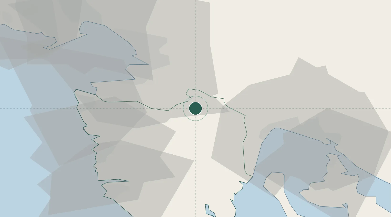
Place type
Populated place
Region
Istria
Population
23
Time zone
Europe/Zagreb
Elevation
523 m
Location
Nearby Logistics Neighbours
Cities
- 1Podgrad15 km
- 2San Dorligo della Valle23 km
- 3Pazin23 km
- 4Momjan23 km
- 5Ilirska Bistrica24 km
Ports
- 1Koper25 km
- 2Muggia26 km
- 3Trieste31 km
- 4Piran36 km
- 5Rijeka Luka36 km
Airports
- 1Portorož Airport30 km
- 2Rijeka Airport51 km
- 3Trieste Airport60 km
- 4Pula Airport60 km
- 5Ljubljana Jože Pučnik Airport95 km
Trade Zones
- 1Free Port of Trieste31 km
- 2Port of Rijeka Free Zone34 km
- 3Free Zone Kukuljanovo41 km
- 4Port of Pula Free Zone65 km
- 5Free Port of Venice132 km
DatabookThe Record of Consolidated Knowledge
Croatia beyond logistics?