UN/LOCODE hub · Slovenia
SIIBS
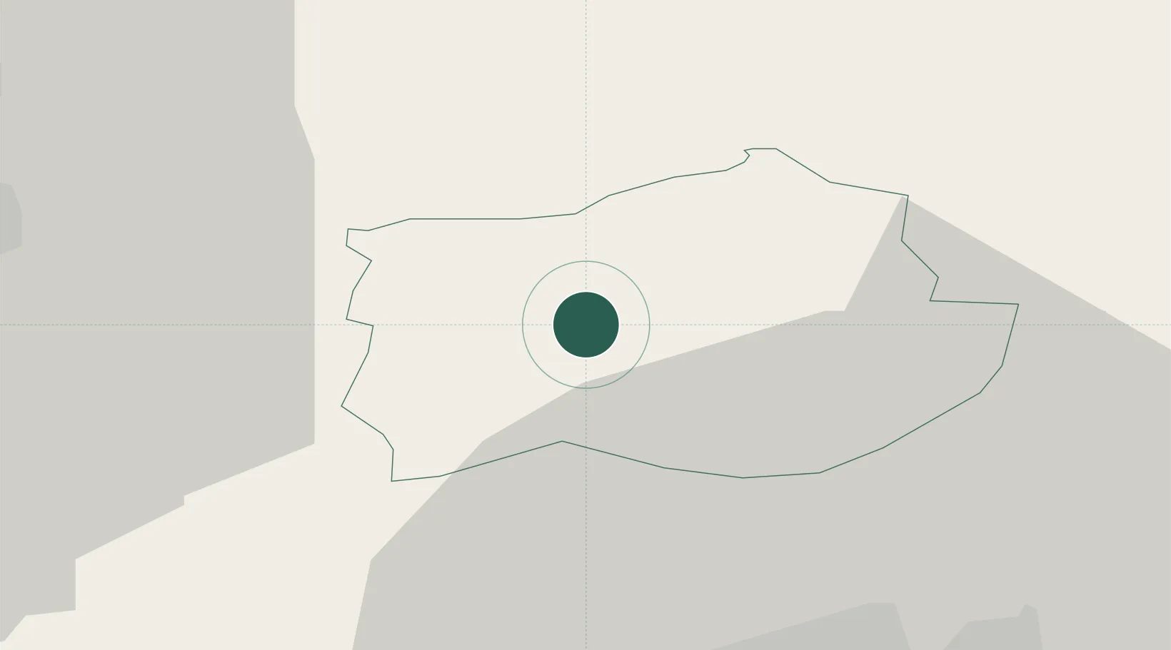
Ilirska Bistrica
45.5667°, 14.2333°
4,553
Population
2
Transport functions
Transport Functions
Rail
Road
Hub Profile
Place type
Regional capital
Region
Ilirska Bistrica
Population
4,553
Time zone
Europe/Ljubljana
Elevation
418 m
Location
Nearby Logistics Neighbours
Cities
- 1Podgrad9 km
- 2Susak11 km
- 3Dolnja Kosana13 km
- 4Pivka13 km
- 5Vremski Britof19 km
Ports
- 1Rijeka Luka30 km
- 2Muggia37 km
- 3Bakar38 km
- 4Koper39 km
- 5Trieste39 km
Airports
- 1Rijeka Airport47 km
- 2Portorož Airport49 km
- 3Trieste Airport66 km
- 4Ljubljana Jože Pučnik Airport75 km
- 5Pula Airport79 km
Trade Zones
- 1Free Zone Kukuljanovo34 km
- 2Free Port of Trieste38 km
- 3Port of Rijeka Free Zone42 km
- 4Port of Pula Free Zone84 km
- 5PJ Free Zone Zagreb130 km
DatabookThe Record of Consolidated Knowledge
Slovenia beyond logistics?