Transport Functions
Port
Multimodal
Hub Profile
Place type
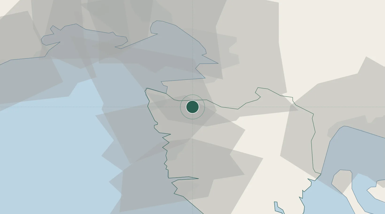
Populated place
Region
Istria
Population
239
Time zone
Europe/Zagreb
Elevation
286 m
Location
Nearby Logistics Neighbours
Airports
- 1Portorož Airport8 km
- 2Trieste Airport47 km
- 3Pula Airport63 km
- 4Rijeka Airport72 km
- 5Udine-Rivolto Air Base79 km
Trade Zones
- 1Free Port of Trieste24 km
- 2Port of Rijeka Free Zone51 km
- 3Port of Pula Free Zone64 km
- 4Free Zone Kukuljanovo64 km
- 5Free Port of Venice108 km
DatabookThe Record of Consolidated Knowledge
Croatia beyond logistics?