Transport Functions
Rail
Road
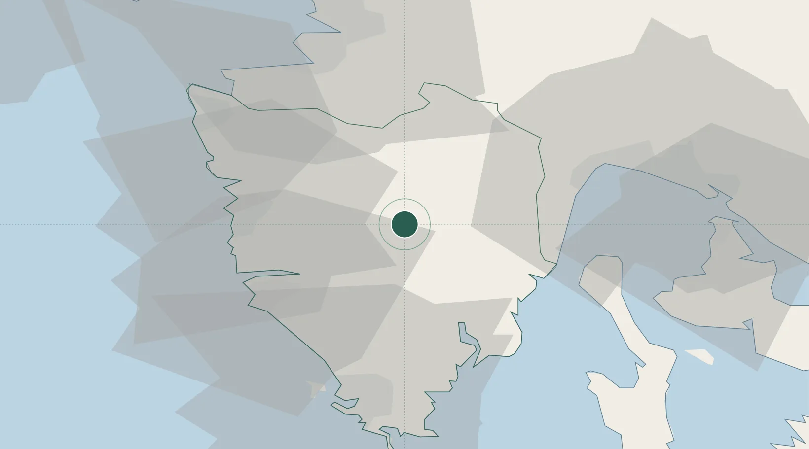
Hub Profile
Place type
Regional capital
Region
Istria
Population
3,981
Time zone
Europe/Zagreb
Elevation
278 m
Location
Nearby Logistics Neighbours
Ports
- 1Zaliv Rasa23 km
- 2Rovinj29 km
- 3Koper39 km
- 4Umag39 km
- 5Pula40 km
Airports
- 1Portorož Airport36 km
- 2Pula Airport38 km
- 3Rijeka Airport50 km
- 4Trieste Airport75 km
- 5Udine-Rivolto Air Base108 km
Trade Zones
- 1Port of Rijeka Free Zone26 km
- 2Port of Pula Free Zone42 km
- 3Free Zone Kukuljanovo47 km
- 4Free Port of Trieste48 km
- 5Free Port of Venice129 km
DatabookThe Record of Consolidated Knowledge
Croatia beyond logistics?