Transport Functions
Multimodal
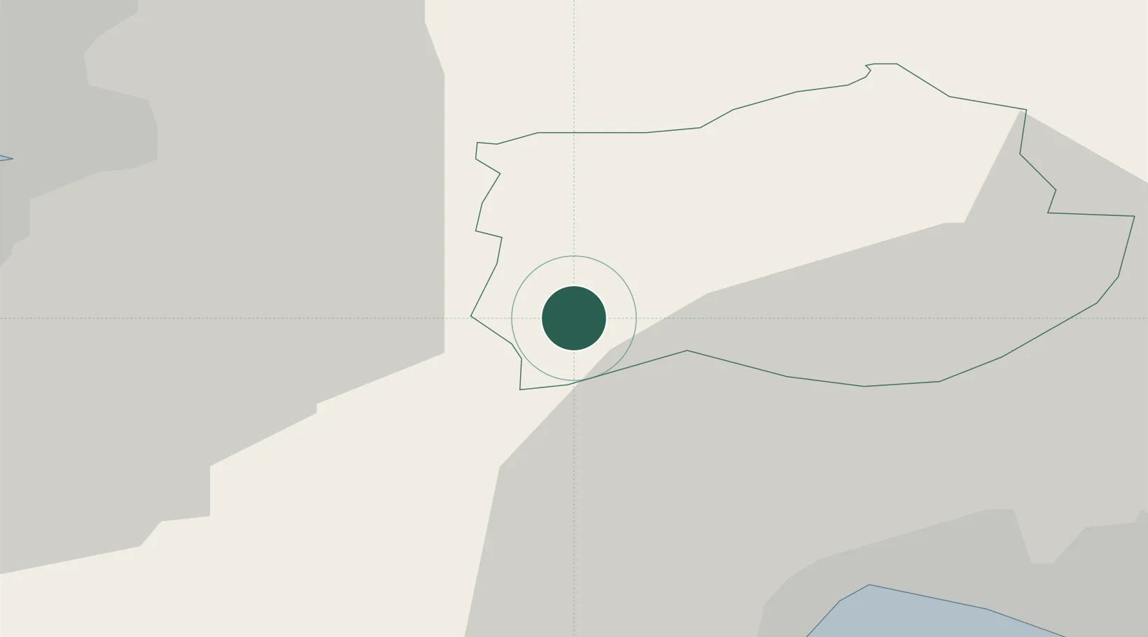
Hub Profile
Place type
Populated place
Region
Ilirska Bistrica
Population
614
Time zone
Europe/Ljubljana
Elevation
573 m
Location
Nearby Logistics Neighbours
Cities
- 1Ilirska Bistrica9 km
- 2Susak14 km
- 3Slum15 km
- 4Dolnja Kosana15 km
- 5Vremski Britof18 km
Ports
- 1Rijeka Luka30 km
- 2Muggia31 km
- 3Koper33 km
- 4Trieste35 km
- 5Bakar38 km
Airports
- 1Portorož Airport42 km
- 2Rijeka Airport47 km
- 3Trieste Airport63 km
- 4Pula Airport72 km
- 5Ljubljana Jože Pučnik Airport82 km
Trade Zones
- 1Free Port of Trieste34 km
- 2Free Zone Kukuljanovo35 km
- 3Port of Rijeka Free Zone37 km
- 4Port of Pula Free Zone77 km
- 5PJ Free Zone Zagreb138 km
DatabookThe Record of Consolidated Knowledge
Slovenia beyond logistics?