UN/LOCODE hub · Croatia
HRSEN

Senj

44.9833°, 14.9000°
4,164
Population
2
Transport functions

Transport Functions

Port
Road
Senj is also a profiled seaport →
UN/LOCODE

Hub Profile

Place type
Provincial seat
GeoNames
Region
Lika-Senj
GeoNames
Population
4,164
GeoNames
Time zone
Europe/Zagreb
GeoNames
Elevation
18 m
GeoNames

Location

Location of HRSEN
Natural Earth 10m (public domain) · Lika-Senj · HRSEN · 44.98, 14.90GoogleOSMYandex

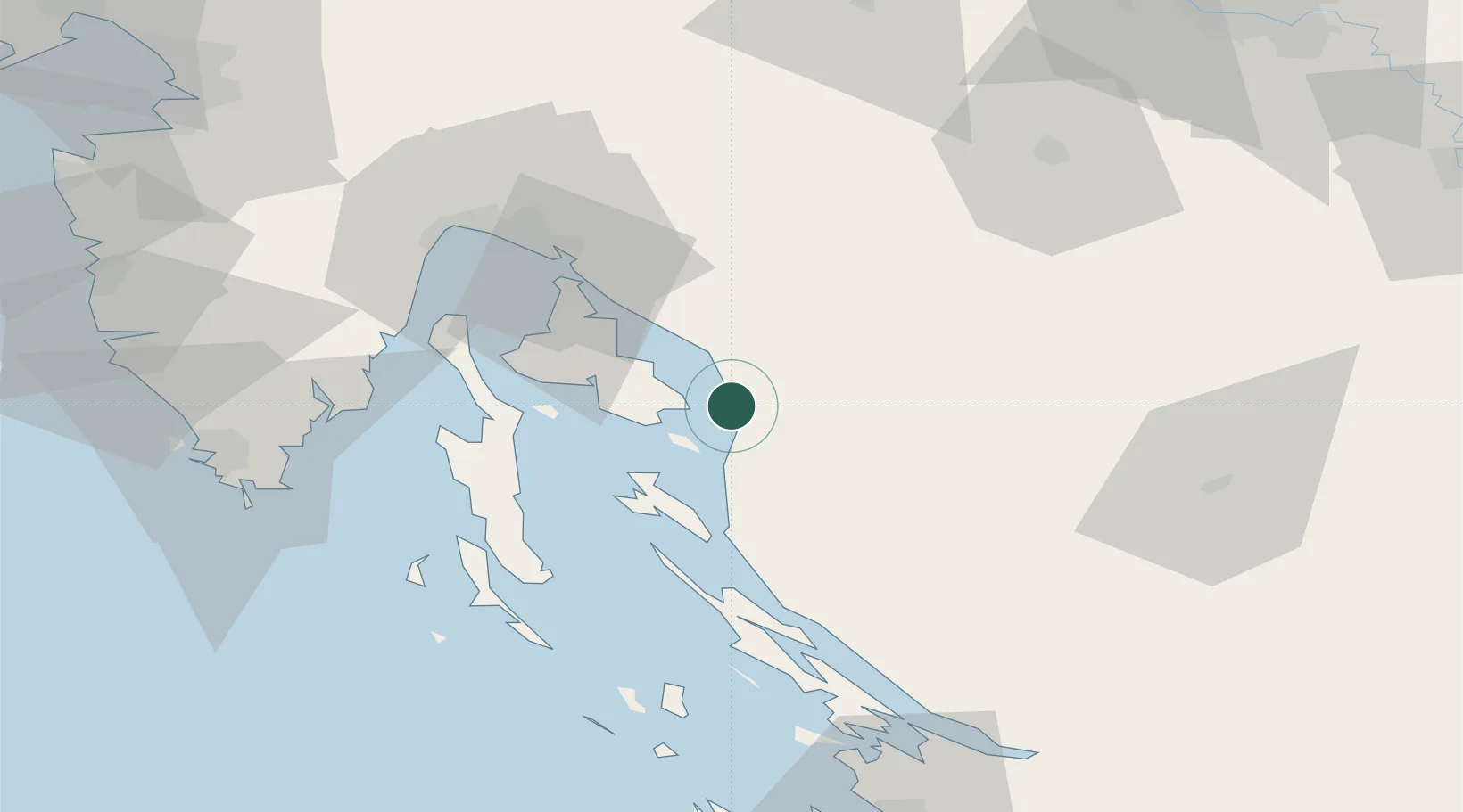
Nearby Logistics Neighbours

Cities
  1. 1Sveti Juraj6 km
  2. 2Baska12 km
  3. 3Lopar18 km
  4. 4Novi Vinodolski19 km
  5. 5Vrbnik20 km
Nearest neighbours — logibook spatial index (haversine) over the source coordinates
Ports
  1. 1Omisalj38 km
  2. 2Bakar46 km
  3. 3Rijeka Luka53 km
  4. 4Zaliv Rasa66 km
  5. 5Pula87 km
Nearest neighbours — logibook spatial index (haversine) over the source coordinates
Airports
  1. 1Rijeka Airport37 km
  2. 2Pula Airport78 km
  3. 3Udbina Airfield84 km
  4. 4Zadar Airport105 km
  5. 5Cerklje ob Krki Air Base113 km
Nearest neighbours — logibook spatial index (haversine) over the source coordinates
Trade Zones
  1. 1Free Zone Kukuljanovo50 km
  2. 2Port of Rijeka Free Zone55 km
  3. 3Port of Pula Free Zone85 km
  4. 4Free Port of Trieste116 km
  5. 5PJ Free Zone Zagreb119 km
Nearest neighbours — logibook spatial index (haversine) over the source coordinates
DatabookThe Record of Consolidated Knowledge
Croatia beyond logistics?
Browse databook

All Sources

LocationsUN/LOCODE
UN/LOCODE — free
LocationsGeoNames
CC BY 4.0
Portsthe NGA World Port Index
Public domain (US gov)
AirportsOurAirports
Public domain
Trade Zonesthe World Bank SEZ database
CC BY 4.0
Trade ZonesOpen Zone Map
CC BY
← Croatia locations