Transport Functions
Port
Road
Hub Profile
Place type
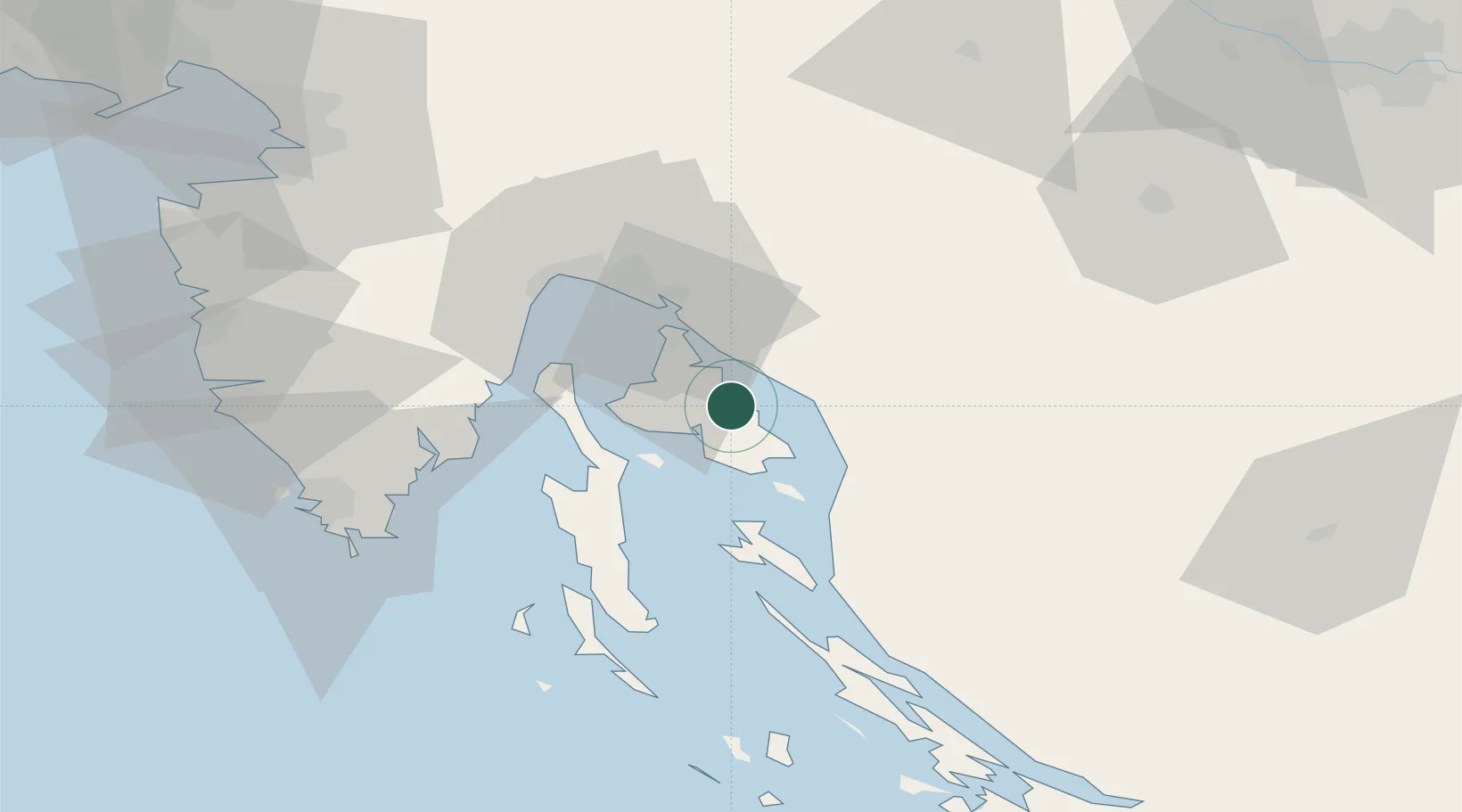
Provincial seat
Region
Primorje-Gorski Kotar
Population
887
Time zone
Europe/Zagreb
Elevation
20 m
Location
Nearby Logistics Neighbours
Cities
- 1Silo8 km
- 2Selce8 km
- 3Klimno8 km
- 4Punat8 km
- 5Novi Vinodolski10 km
Ports
- 1Omisalj18 km
- 2Senj20 km
- 3Bakar27 km
- 4Rijeka Luka34 km
- 5Zaliv Rasa49 km
Airports
- 1Rijeka Airport17 km
- 2Pula Airport64 km
- 3Portorož Airport94 km
- 4Udbina Airfield104 km
- 5Cerklje ob Krki Air Base112 km
Trade Zones
- 1Free Zone Kukuljanovo31 km
- 2Port of Rijeka Free Zone35 km
- 3Port of Pula Free Zone71 km
- 4Free Port of Trieste96 km
- 5PJ Free Zone Zagreb123 km
DatabookThe Record of Consolidated Knowledge
Croatia beyond logistics?