Transport Functions
Port
Road
Hub Profile
Place type
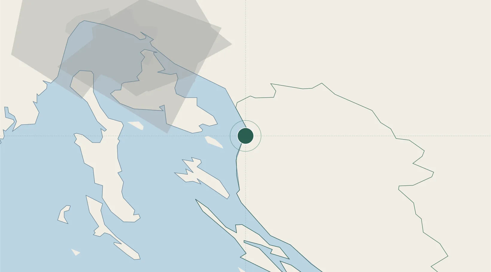
Populated place
Region
Lika-Senj
Population
542
Time zone
Europe/Zagreb
Elevation
30 m
Location
Nearby Logistics Neighbours
Ports
- 1Senj6 km
- 2Omisalj43 km
- 3Bakar51 km
- 4Rijeka Luka58 km
- 5Zaliv Rasa68 km
Airports
- 1Rijeka Airport42 km
- 2Pula Airport78 km
- 3Udbina Airfield80 km
- 4Zadar Airport99 km
- 5Cerklje ob Krki Air Base118 km
Trade Zones
- 1Free Zone Kukuljanovo55 km
- 2Port of Rijeka Free Zone59 km
- 3Port of Pula Free Zone86 km
- 4Free Port of Trieste121 km
- 5PJ Free Zone Zagreb122 km
DatabookThe Record of Consolidated Knowledge
Croatia beyond logistics?