UN/LOCODE hub · Croatia
HRNVD
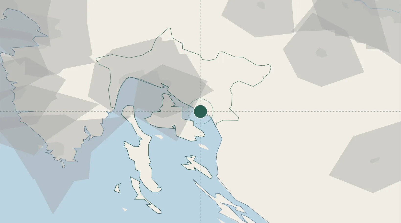
Novi Vinodolski
45.1333°, 14.7833°
3,336
Population
2
Transport functions
Transport Functions
Port
Road
Hub Profile
Place type
Provincial seat
Region
Primorje-Gorski Kotar
Population
3,336
Time zone
Europe/Zagreb
Elevation
33 m
Location
Nearby Logistics Neighbours
Cities
- 1Selce6 km
- 2Crikvenica9 km
- 3Silo9 km
- 4Vrbnik10 km
- 5Belgrad10 km
Ports
- 1Senj19 km
- 2Omisalj21 km
- 3Bakar27 km
- 4Rijeka Luka35 km
- 5Zaliv Rasa57 km
Airports
- 1Rijeka Airport19 km
- 2Pula Airport73 km
- 3Portorož Airport99 km
- 4Udbina Airfield101 km
- 5Cerklje ob Krki Air Base103 km
Trade Zones
- 1Free Zone Kukuljanovo31 km
- 2Port of Rijeka Free Zone42 km
- 3Port of Pula Free Zone81 km
- 4Free Port of Trieste99 km
- 5PJ Free Zone Zagreb113 km
DatabookThe Record of Consolidated Knowledge
Croatia beyond logistics?