UN/LOCODE hub · Croatia
HRRSA

Rasinja

46.1833°, 16.7000°
730
Population
2
Transport functions

Transport Functions

Rail
Road
UN/LOCODE

Hub Profile

Place type
Provincial seat
GeoNames
Region
Koprivnica-Križevci
GeoNames
Population
730
GeoNames
Time zone
Europe/Zagreb
GeoNames
Elevation
156 m
GeoNames

Location

Location of HRRSA
Natural Earth 10m (public domain) · Koprivnica-Križevci · HRRSA · 46.18, 16.70GoogleOSMYandex

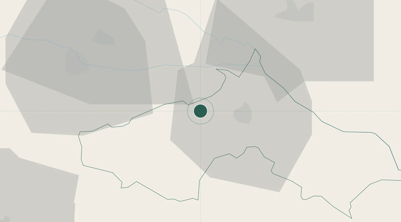
Nearby Logistics Neighbours

Cities
  1. 1Koprivnica10 km
  2. 2Ludbreg11 km
  3. 3Botovo17 km
  4. 4Prelog18 km
  5. 5Kotoriba21 km
Nearest neighbours — logibook spatial index (haversine) over the source coordinates
Ports
  1. 1Senj194 km
  2. 2Bakar195 km
  3. 3Omisalj199 km
  4. 4Rijeka Luka200 km
  5. 5Trieste236 km
Nearest neighbours — logibook spatial index (haversine) over the source coordinates
Airports
  1. 1Hévíz–Balaton Airport66 km
  2. 2Zagreb Franjo Tuđman International Airport69 km
  3. 3Maribor Edvard Rusjan Airport85 km
  4. 4Cerklje ob Krki Air Base96 km
  5. 5Taszár Air Base96 km
Nearest neighbours — logibook spatial index (haversine) over the source coordinates
Trade Zones
  1. 1Sjever Free Zone30 km
  2. 2Krapina-Zagorje Free Zone64 km
  3. 3PJ Free Zone Zagreb77 km
  4. 4Duro Daković Free Zone152 km
  5. 5Osijek Free Zone166 km
Nearest neighbours — logibook spatial index (haversine) over the source coordinates
DatabookThe Record of Consolidated Knowledge
Croatia beyond logistics?
Browse databook

All Sources

LocationsUN/LOCODE
UN/LOCODE — free
LocationsGeoNames
CC BY 4.0
Portsthe NGA World Port Index
Public domain (US gov)
AirportsOurAirports
Public domain
Trade Zonesthe World Bank SEZ database
CC BY 4.0
Trade ZonesOpen Zone Map
CC BY
← Croatia locations