Transport Functions
Multimodal
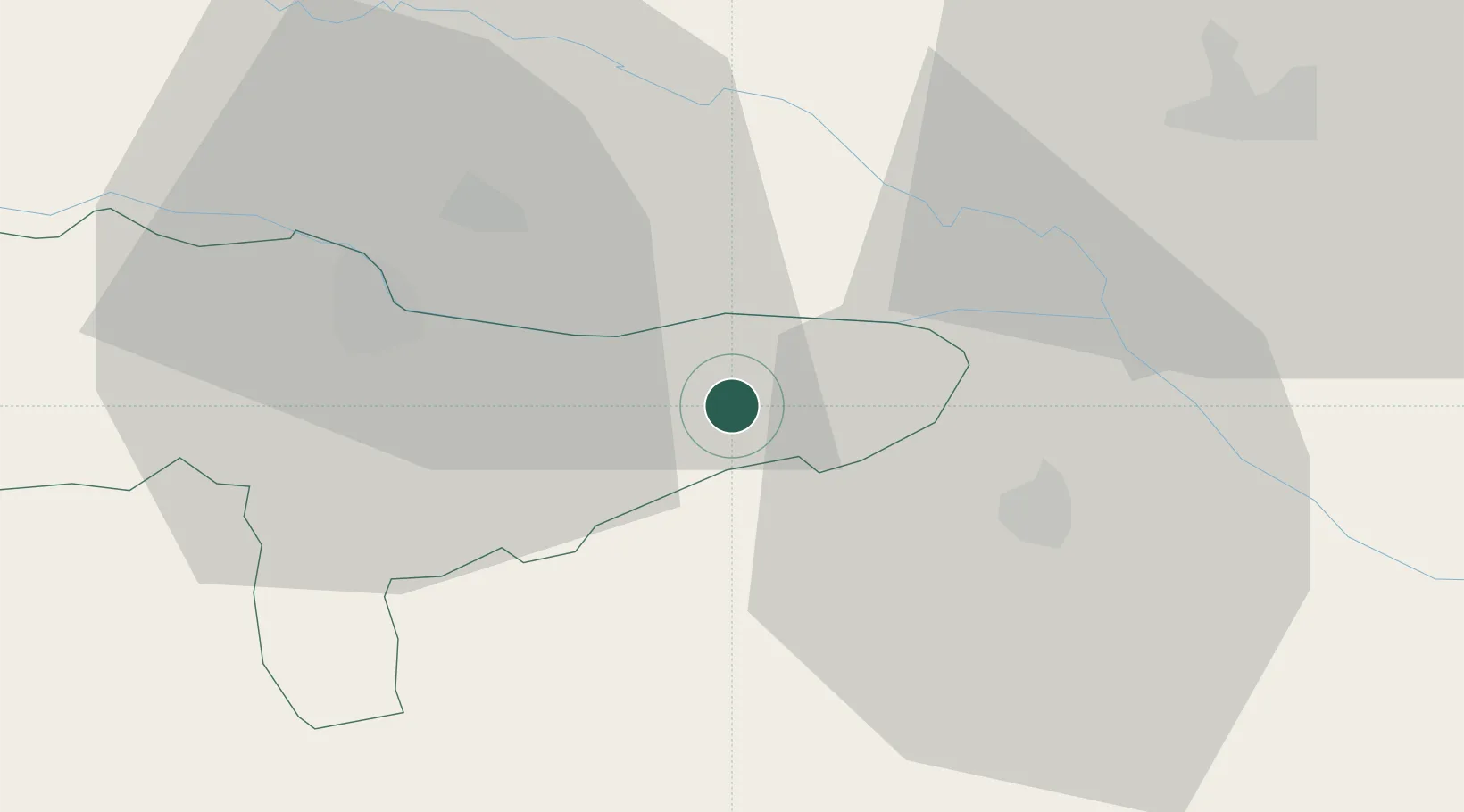
Hub Profile
Place type
Provincial seat
Region
Varaždin
Population
3,463
Time zone
Europe/Zagreb
Elevation
157 m
Location
Nearby Logistics Neighbours
Cities
- 1Prelog9 km
- 2Rasinja11 km
- 3Gorican16 km
- 4Trnovec Bartolovecki17 km
- 5Belica18 km
Ports
- 1Bakar192 km
- 2Senj193 km
- 3Omisalj196 km
- 4Rijeka Luka197 km
- 5Trieste231 km
Airports
Trade Zones
- 1Sjever Free Zone21 km
- 2Krapina-Zagorje Free Zone57 km
- 3PJ Free Zone Zagreb75 km
- 4Duro Daković Free Zone162 km
- 5Osijek Free Zone177 km
DatabookThe Record of Consolidated Knowledge
Croatia beyond logistics?