Transport Functions
Port
Road
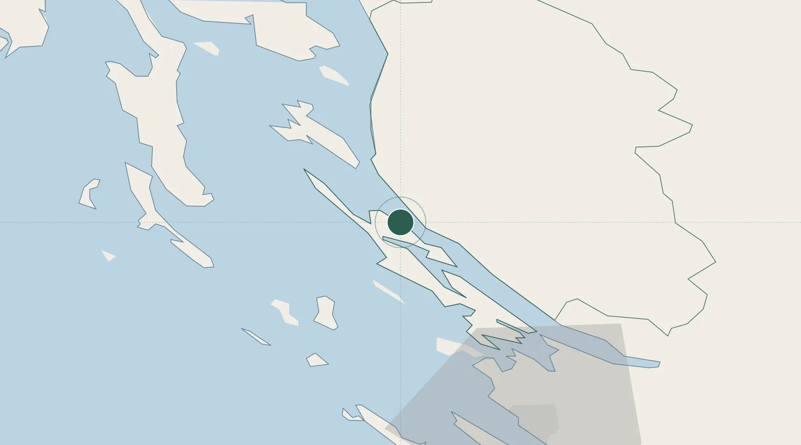
Location
Nearby Logistics Neighbours
Ports
- 1Senj45 km
- 2Zadar56 km
- 3Omisalj77 km
- 4Bakar86 km
- 5Zaliv Rasa87 km
Airports
- 1Zadar Airport63 km
- 2Udbina Airfield65 km
- 3Rijeka Airport77 km
- 4Pula Airport88 km
- 5Portorož Airport144 km
Trade Zones
- 1Port of Rijeka Free Zone87 km
- 2Free Zone Kukuljanovo91 km
- 3Port of Pula Free Zone94 km
- 4Free Port of Trieste151 km
- 5PJ Free Zone Zagreb154 km
DatabookThe Record of Consolidated Knowledge
Croatia beyond logistics?