Transport Functions
Port
Road
Hub Profile
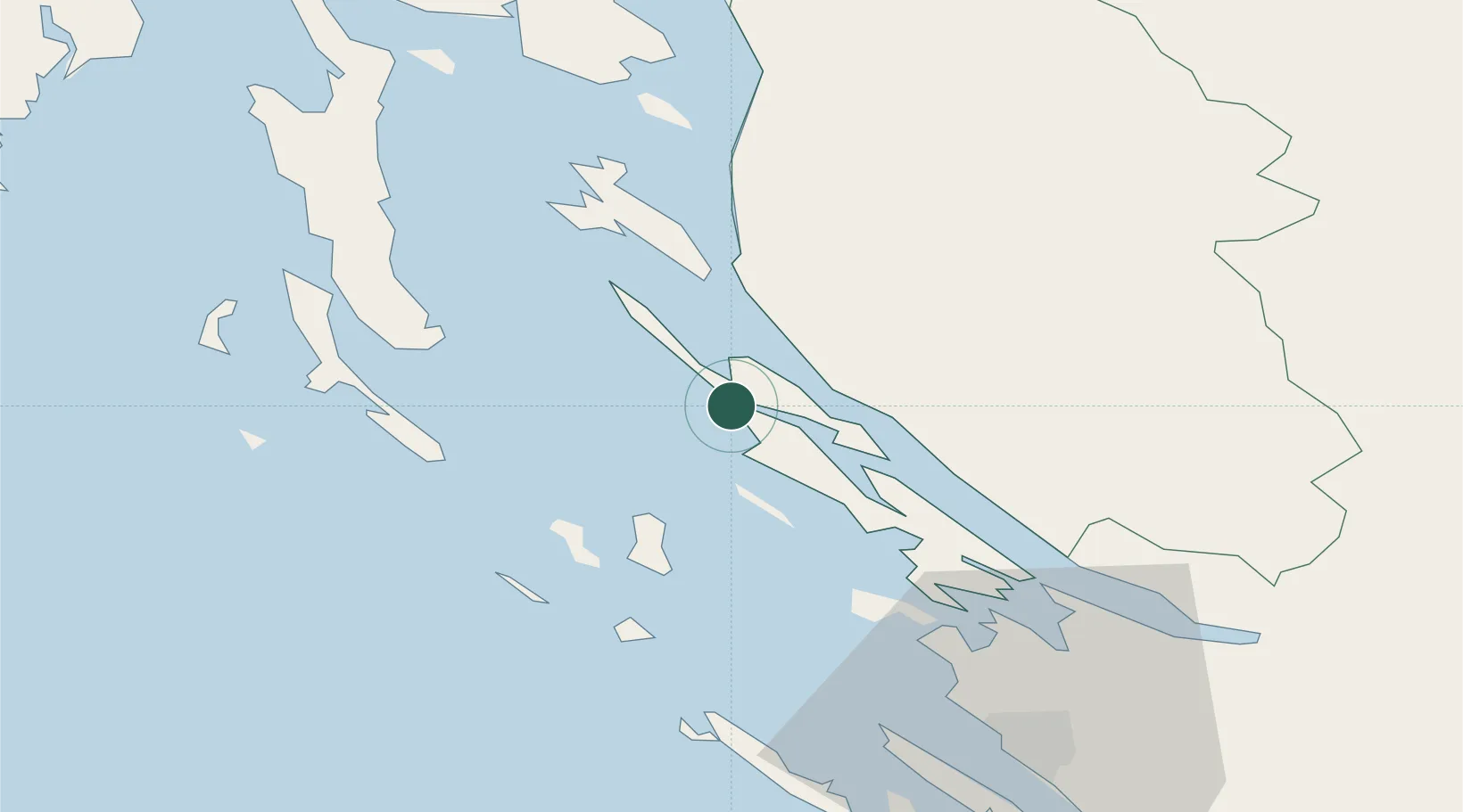
Place type
Provincial seat
Region
Lika-Senj
Population
2,415
Time zone
Europe/Zagreb
Elevation
17 m
Location
Nearby Logistics Neighbours
Ports
- 1Senj48 km
- 2Zadar55 km
- 3Omisalj79 km
- 4Zaliv Rasa85 km
- 5Bakar88 km
Airports
- 1Zadar Airport63 km
- 2Udbina Airfield71 km
- 3Rijeka Airport78 km
- 4Pula Airport85 km
- 5Portorož Airport143 km
Trade Zones
- 1Port of Rijeka Free Zone87 km
- 2Port of Pula Free Zone90 km
- 3Free Zone Kukuljanovo92 km
- 4Free Port of Trieste151 km
- 5PJ Free Zone Zagreb159 km
DatabookThe Record of Consolidated Knowledge
Croatia beyond logistics?