Transport Functions
Port
Road
Hub Profile
Place type
Provincial seat
Region
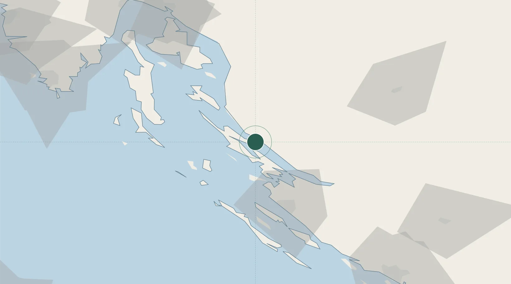
Lika-Senj
Population
368
Time zone
Europe/Zagreb
Elevation
30 m
Location
Nearby Logistics Neighbours
Ports
- 1Zadar46 km
- 2Senj54 km
- 3Omisalj88 km
- 4Bakar97 km
- 5Zaliv Rasa99 km
Airports
- 1Zadar Airport52 km
- 2Udbina Airfield56 km
- 3Rijeka Airport87 km
- 4Pula Airport100 km
- 5Split Saint Jerome Airport147 km
Trade Zones
- 1Port of Rijeka Free Zone99 km
- 2Free Zone Kukuljanovo101 km
- 3Port of Pula Free Zone105 km
- 4Port of Split Free Zone156 km
- 5PJ Free Zone Zagreb156 km
DatabookThe Record of Consolidated Knowledge
Croatia beyond logistics?