UN/LOCODE hub · Croatia
HRHID

Ivanic-Grad

45.7000°, 16.3833°
8,452
Population
1
Transport functions

Transport Functions

Multimodal
UN/LOCODE

Hub Profile

Place type
Provincial seat
GeoNames
Region
Zagreb County
GeoNames
Population
8,452
GeoNames
Time zone
Europe/Zagreb
GeoNames
Elevation
103 m
GeoNames

Location

Location of HRHID
Natural Earth 10m (public domain) · Zagreb County · HRHID · 45.70, 16.38GoogleOSMYandex

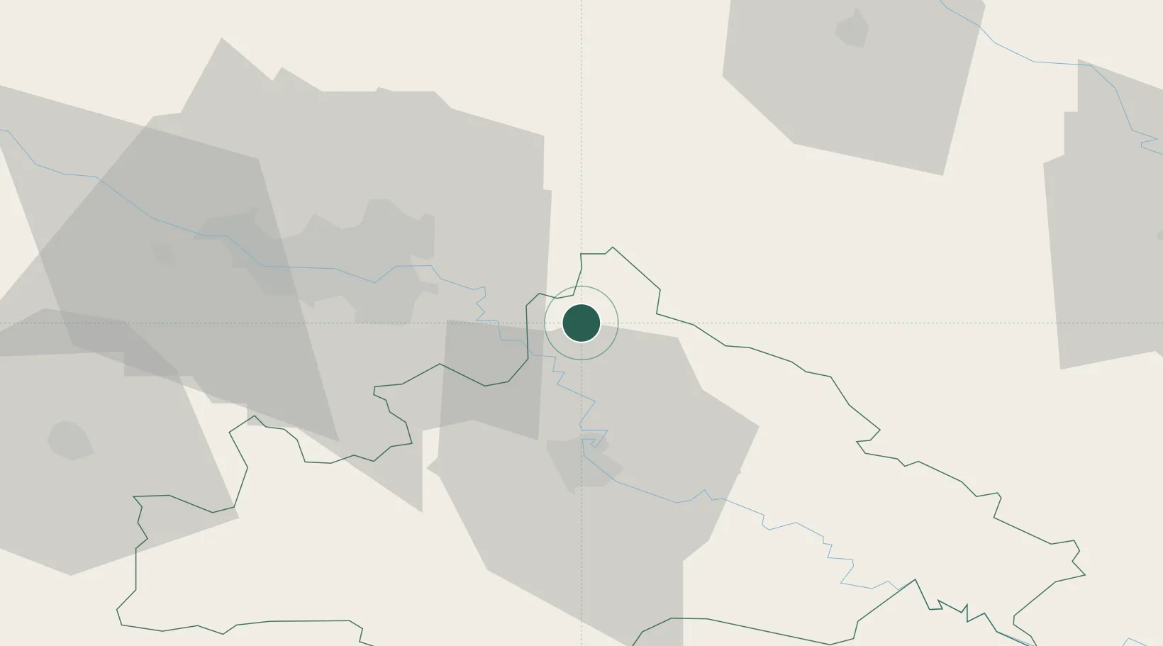
Nearby Logistics Neighbours

Cities
  1. 1Rugvica12 km
  2. 2Dugo Sela17 km
  3. 3Vrbovec21 km
  4. 4Zelina21 km
  5. 5Velika Gorica25 km
Nearest neighbours — logibook spatial index (haversine) over the source coordinates
Ports
  1. 1Senj141 km
  2. 2Bakar151 km
  3. 3Omisalj153 km
  4. 4Rijeka Luka157 km
  5. 5Zaliv Rasa195 km
Nearest neighbours — logibook spatial index (haversine) over the source coordinates
Airports
  1. 1Zagreb Franjo Tuđman International Airport25 km
  2. 2Cerklje ob Krki Air Base70 km
  3. 3Maribor Edvard Rusjan Airport102 km
  4. 4Banja Luka International Airport111 km
  5. 5Hévíz–Balaton Airport125 km
Nearest neighbours — logibook spatial index (haversine) over the source coordinates
Trade Zones
  1. 1PJ Free Zone Zagreb41 km
  2. 2Krapina-Zagorje Free Zone64 km
  3. 3Sjever Free Zone66 km
  4. 4Duro Daković Free Zone140 km
  5. 5Free Zone Kukuljanovo151 km
Nearest neighbours — logibook spatial index (haversine) over the source coordinates
DatabookThe Record of Consolidated Knowledge
Croatia beyond logistics?
Browse databook

All Sources

LocationsUN/LOCODE
UN/LOCODE — free
LocationsGeoNames
CC BY 4.0
Portsthe NGA World Port Index
Public domain (US gov)
AirportsOurAirports
Public domain
Trade Zonesthe World Bank SEZ database
CC BY 4.0
Trade ZonesOpen Zone Map
CC BY
← Croatia locations