Transport Functions
Multimodal
Hub Profile
Place type
Provincial seat
Region
Varaždin
Population
4,997
Time zone
Europe/Zagreb
Elevation
230 m
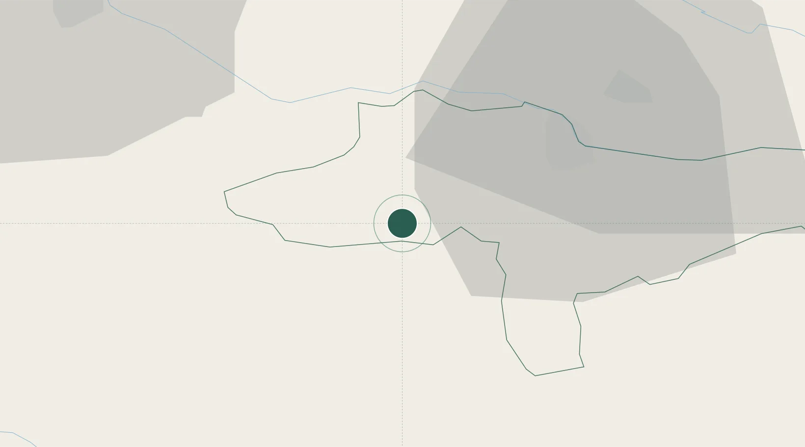
Location
Nearby Logistics Neighbours
Cities
- 1Beletinec15 km
- 2Beretinec15 km
- 3Zgornji Leskovec18 km
- 4Varazdin19 km
- 5Zavrc20 km
Ports
- 1Bakar160 km
- 2Rijeka Luka163 km
- 3Omisalj165 km
- 4Senj167 km
- 5Trieste194 km
Airports
Trade Zones
- 1Sjever Free Zone19 km
- 2Krapina-Zagorje Free Zone20 km
- 3PJ Free Zone Zagreb50 km
- 4Free Zone Kukuljanovo158 km
- 5Port of Rijeka Free Zone184 km
DatabookThe Record of Consolidated Knowledge
Croatia beyond logistics?