Transport Functions
Rail
Road
Hub Profile
Place type
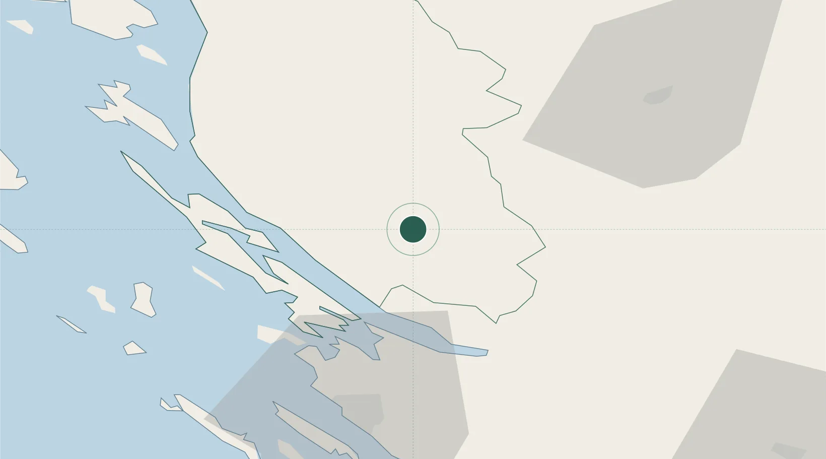
Regional capital
Region
Lika-Senj
Population
6,362
Time zone
Europe/Zagreb
Elevation
563 m
Location
Nearby Logistics Neighbours
Airports
- 1Udbina Airfield32 km
- 2Zadar Airport49 km
- 3Rijeka Airport99 km
- 4Pula Airport121 km
- 5Split Saint Jerome Airport133 km
Trade Zones
- 1Free Zone Kukuljanovo112 km
- 2Port of Rijeka Free Zone114 km
- 3Port of Pula Free Zone127 km
- 4Port of Split Free Zone142 km
- 5Split-Dalmatia Free Zone143 km
DatabookThe Record of Consolidated Knowledge
Croatia beyond logistics?