Transport Functions
Multimodal
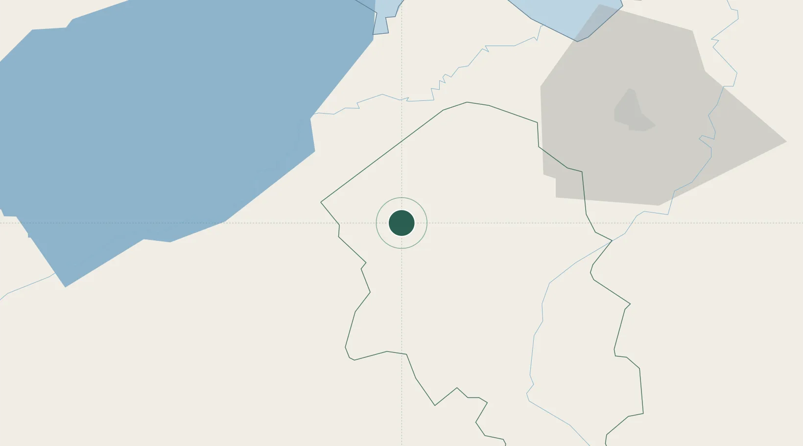
Hub Profile
Place type
Populated place
Region
Santa Bárbara Department
Population
2,502
Time zone
America/Tegucigalpa
Elevation
266 m
Location
Nearby Logistics Neighbours
Cities
- 1La Flecha10 km
- 2Quimistan21 km
- 3La Entrada29 km
- 4Trinidad38 km
- 5Entre Ríos43 km
Ports
- 1Santo Tomas De Castilla50 km
- 2Puerto Barrios54 km
- 3Puerto Cortes93 km
- 4Tela134 km
- 5Big Creek142 km
Airports
- 1Puerto Barrios Airport54 km
- 2Ramón Villeda Morales International Airport73 km
- 3Punta Gorda Airport98 km
- 4Tela Airport131 km
- 5Palmerola International Airport140 km
Trade Zones
- 1Green Valley Industrial Park42 km
- 2Santo Tomas de Castillo Free Zone49 km
- 3Villanueva Industrial62 km
- 4ZIP Bufalo Free Zone63 km
- 5ZIP Buena Vista63 km
DatabookThe Record of Consolidated Knowledge
Honduras beyond logistics?