Transport Functions
Rail
Road
Hub Profile
Place type
Provincial seat
Region
Guangdong
Population
9,042,509
Time zone
Asia/Shanghai
Elevation
5 m
Logistics facilities
1
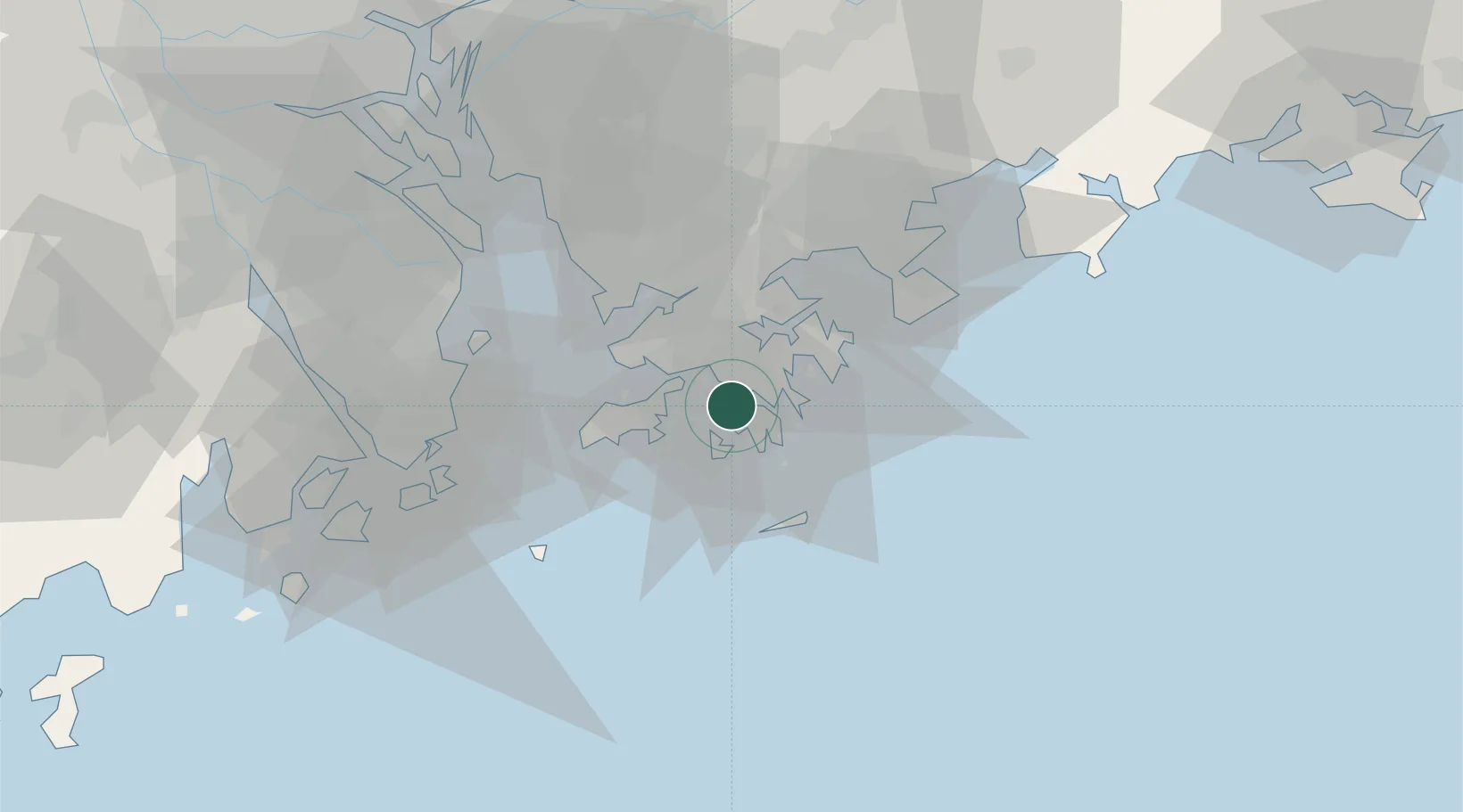
Location
Nearby Logistics Neighbours
DatabookThe Record of Consolidated Knowledge
China beyond logistics?