UN/LOCODE hub · Guatemala
GTVLL
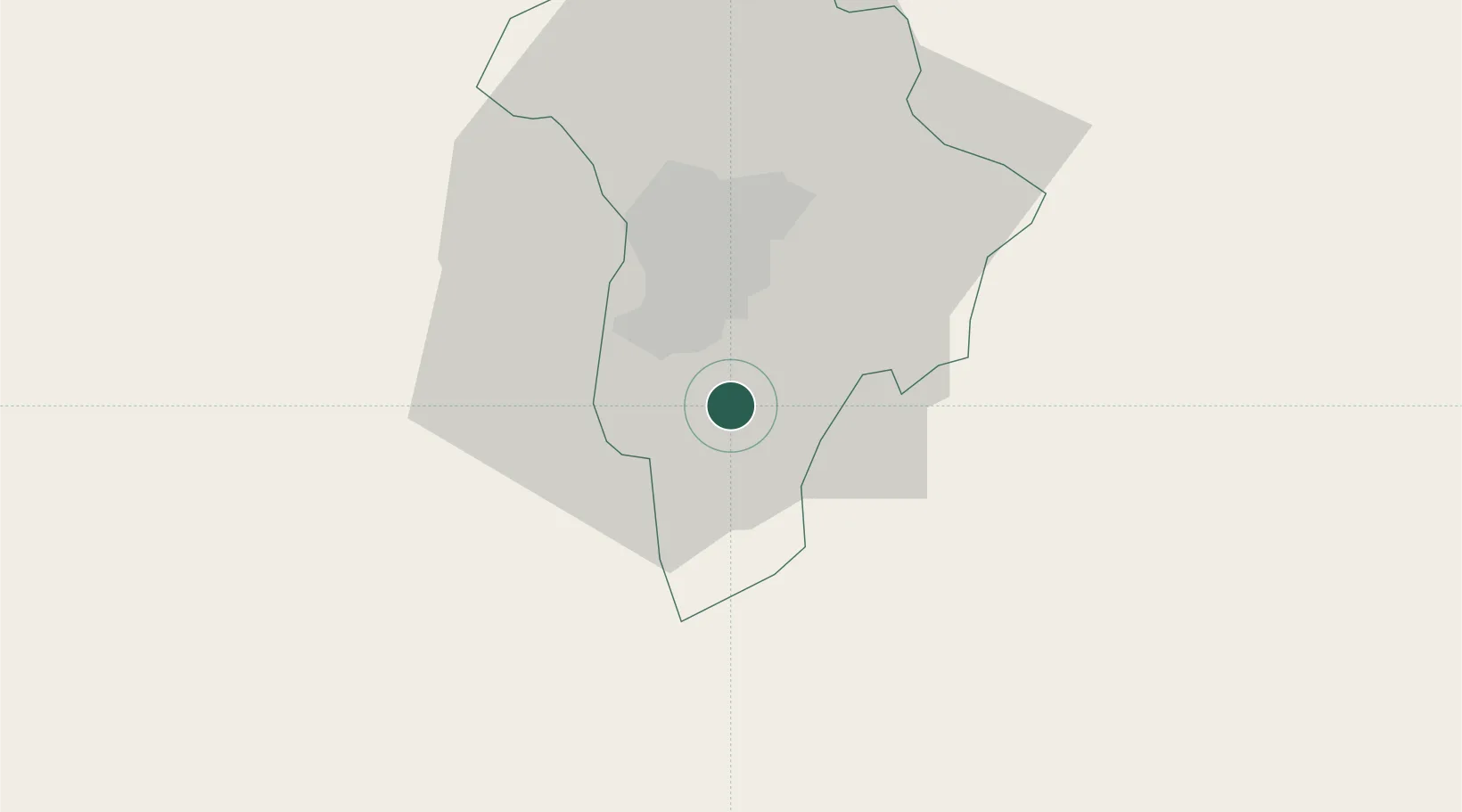
Villa Canales
14.4667°, -90.5167°
155,423
Population
3
Transport functions
Transport Functions
Rail
Road
Multimodal
Hub Profile
Place type
Provincial seat
Region
Guatemala
Population
155,423
Time zone
America/Guatemala
Elevation
1,218 m
Location
Nearby Logistics Neighbours
Cities
- 1San Miguel Petapa7 km
- 2Boca del Monte9 km
- 3Villa Nueva11 km
- 4Masagua45 km
- 5Santa Lucía Cotzumalguapa56 km
Ports
- 1Puerto Quetzal68 km
- 2Acajutla121 km
- 3Puerto Madero210 km
- 4Santo Tomas De Castilla246 km
- 5Puerto Barrios249 km
Airports
- 1La Aurora International Airport13 km
- 2San José Airport68 km
- 3Coban Airport112 km
- 4Quezaltenango Airport115 km
- 5Retalhuleu Airport127 km
Trade Zones
- 1Grupo Zeta Free Zone13 km
- 2Zona Franca Cropa15 km
- 3Zona Franca 10104 km
- 4Zona Franca Santa Ana117 km
- 5American Park Free Zone139 km
DatabookThe Record of Consolidated Knowledge
Guatemala beyond logistics?