Transport Functions
Rail
Road
Multimodal
Hub Profile
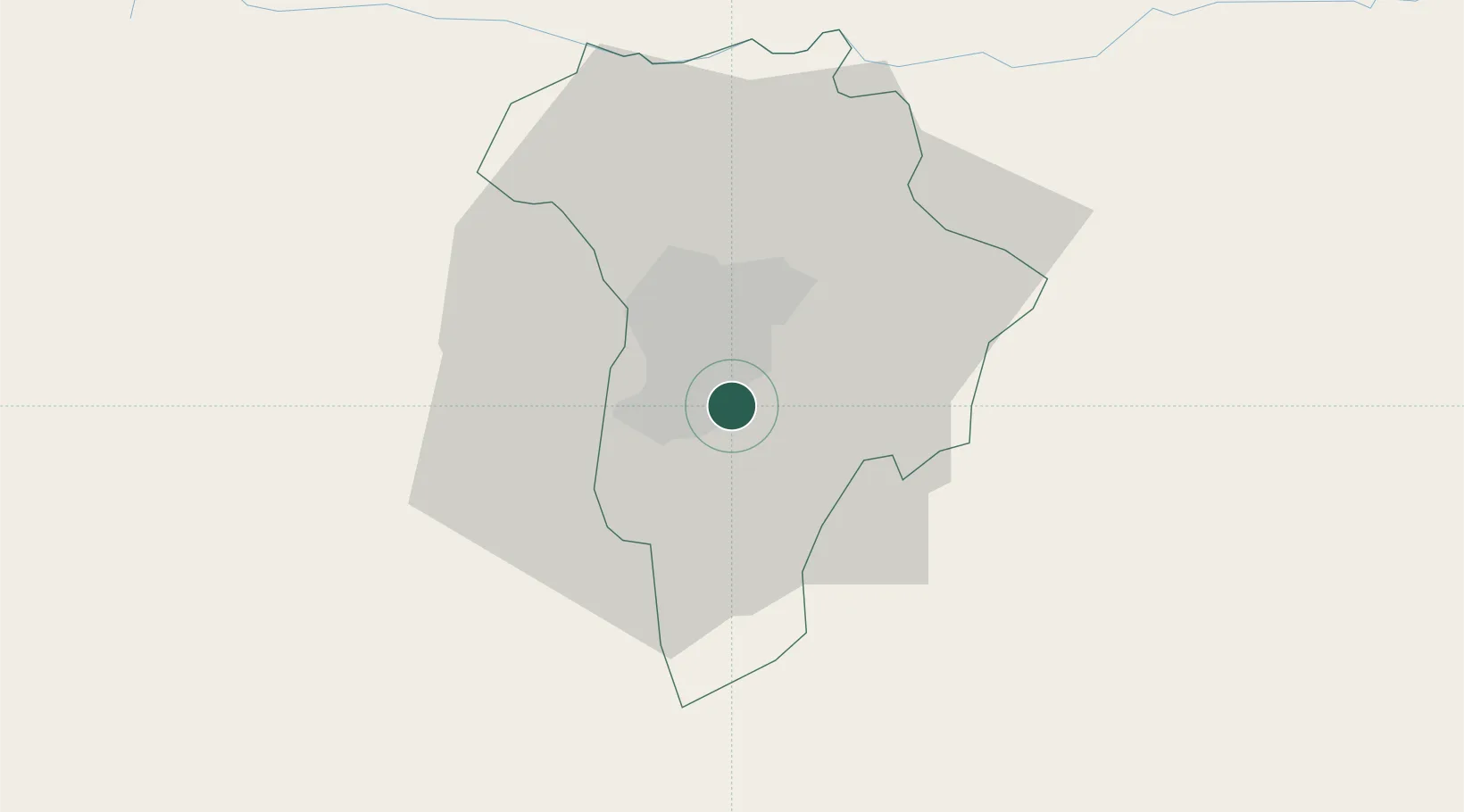
Place type
Populated place
Region
Guatemala
Time zone
America/Guatemala
Elevation
1,363 m
Location
Nearby Logistics Neighbours
Cities
- 1San Miguel Petapa8 km
- 2Villa Nueva8 km
- 3Villa Canales9 km
- 4Masagua52 km
- 5Santa Lucia57 km
Ports
- 1Puerto Quetzal77 km
- 2Acajutla128 km
- 3Puerto Madero209 km
- 4Santo Tomas De Castilla241 km
- 5Puerto Barrios244 km
Airports
- 1La Aurora International Airport4 km
- 2San José Airport76 km
- 3Coban Airport103 km
- 4Quezaltenango Airport112 km
- 5Retalhuleu Airport127 km
Trade Zones
- 1Zona Franca Cropa6 km
- 2Grupo Zeta Free Zone16 km
- 3Zona Franca 10109 km
- 4Zona Franca Santa Ana121 km
- 5American Park Free Zone144 km
DatabookThe Record of Consolidated Knowledge
Guatemala beyond logistics?