Transport Functions
Rail
Road
Multimodal
Hub Profile
Region
01
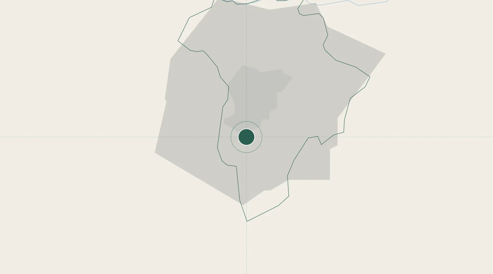
Location
Nearby Logistics Neighbours
Cities
- 1Villa Nueva4 km
- 2Villa Canales7 km
- 3Boca del Monte8 km
- 4Masagua44 km
- 5Santa Lucía Cotzumalguapa52 km
Ports
- 1Puerto Quetzal70 km
- 2Acajutla127 km
- 3Puerto Madero204 km
- 4Santo Tomas De Castilla248 km
- 5Puerto Barrios252 km
Airports
- 1La Aurora International Airport10 km
- 2San José Airport69 km
- 3Quezaltenango Airport109 km
- 4Coban Airport109 km
- 5Retalhuleu Airport122 km
Trade Zones
- 1Grupo Zeta Free Zone9 km
- 2Zona Franca Cropa12 km
- 3Zona Franca 10110 km
- 4Zona Franca Santa Ana123 km
- 5American Park Free Zone145 km
DatabookThe Record of Consolidated Knowledge
Guatemala beyond logistics?