UN/LOCODE hub · Guatemala
GTVIN
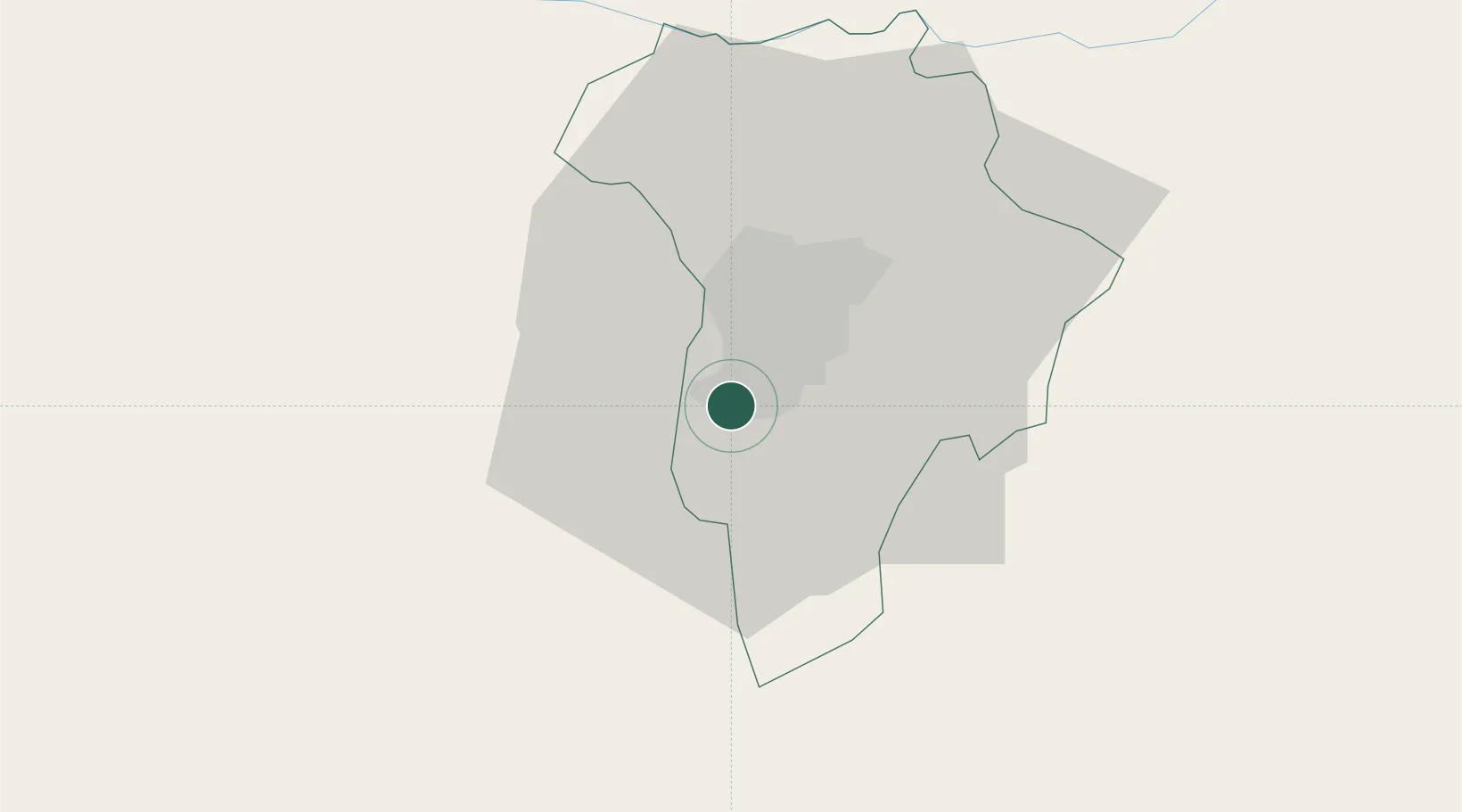
Villa Nueva
14.5306°, -90.5923°
618,397
Population
1
Transport functions
Transport Functions
Port
Hub Profile
Place type
Provincial seat
Region
Guatemala
Population
618,397
Time zone
America/Guatemala
Elevation
1,331 m
Logistics facilities
2
Location
Nearby Logistics Neighbours
Cities
- 1San Miguel Petapa4 km
- 2Boca del Monte8 km
- 3Villa Canales11 km
- 4Masagua45 km
- 5Santa Lucía Cotzumalguapa51 km
Ports
- 1Puerto Quetzal72 km
- 2Acajutla131 km
- 3Puerto Madero201 km
- 4Santo Tomas De Castilla249 km
- 5Puerto Barrios252 km
Airports
- 1La Aurora International Airport9 km
- 2San José Airport71 km
- 3Quezaltenango Airport105 km
- 4Coban Airport106 km
- 5Retalhuleu Airport119 km
Trade Zones
- 1Grupo Zeta Free Zone9 km
- 2Zona Franca Cropa10 km
- 3Zona Franca 10114 km
- 4Zona Franca Santa Ana127 km
- 5American Park Free Zone149 km
DatabookThe Record of Consolidated Knowledge
Guatemala beyond logistics?