Transport Functions
Port
Multimodal
Hub Profile
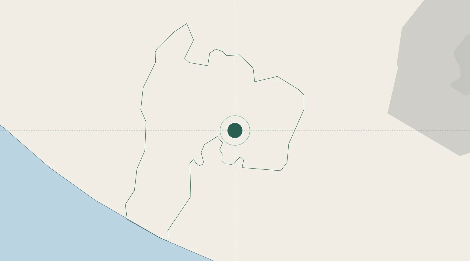
Place type
Populated place
Region
Suchitepeque
Population
7,568
Time zone
America/Guatemala
Elevation
161 m
Location
Nearby Logistics Neighbours
Cities
- 1Santa Bárbara10 km
- 2Cocales14 km
- 3Patulul16 km
- 4Nahualate17 km
- 5San Antonio Suchitepéquez18 km
Ports
- 1Puerto Quetzal77 km
- 2Puerto Madero127 km
- 3Acajutla181 km
- 4Santo Tomas De Castilla324 km
- 5Puerto Barrios327 km
Airports
- 1Retalhuleu Airport43 km
- 2Quezaltenango Airport56 km
- 3San José Airport73 km
- 4La Aurora International Airport87 km
- 5Huehuetenango Airport104 km
Trade Zones
- 1Grupo Zeta Free Zone73 km
- 2Zona Franca Cropa87 km
- 3Special Economic Zone of Puerto Chiapas122 km
- 4Zona Franca 10181 km
- 5Zona Franca Santa Ana196 km
DatabookThe Record of Consolidated Knowledge
Guatemala beyond logistics?