Transport Functions
Road
Multimodal
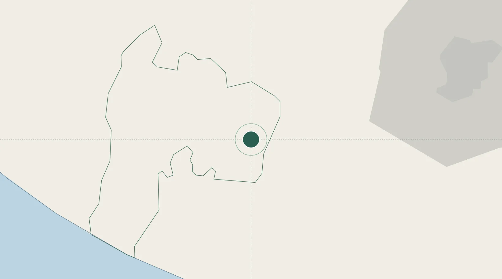
Hub Profile
Place type
Locality
Region
Suchitepeque
Time zone
America/Guatemala
Elevation
230 m
Location
Nearby Logistics Neighbours
Cities
- 1Patulul3 km
- 2Santa Bárbara7 km
- 3Río Bravo14 km
- 4Santa Lucía Cotzumalguapa19 km
- 5Nahualate28 km
Ports
- 1Puerto Quetzal68 km
- 2Puerto Madero140 km
- 3Acajutla169 km
- 4Santo Tomas De Castilla311 km
- 5Puerto Barrios315 km
Airports
- 1Retalhuleu Airport57 km
- 2Quezaltenango Airport62 km
- 3San José Airport64 km
- 4La Aurora International Airport74 km
- 5Huehuetenango Airport108 km
Trade Zones
- 1Grupo Zeta Free Zone59 km
- 2Zona Franca Cropa74 km
- 3Special Economic Zone of Puerto Chiapas136 km
- 4Zona Franca 10167 km
- 5Zona Franca Santa Ana182 km
DatabookThe Record of Consolidated Knowledge
Guatemala beyond logistics?