UN/LOCODE hub · Guatemala
GTSBA
Santa Bárbara
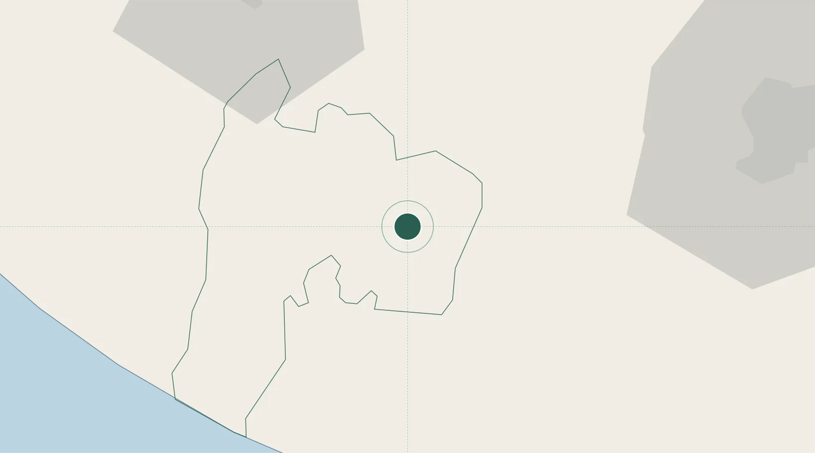
14.4333°, -91.2333°
17,172
Population
2
Transport functions
Transport Functions
Road
Multimodal
Hub Profile
Place type
Provincial seat
Region
Suchitepeque
Population
17,172
Time zone
America/Guatemala
Elevation
425 m
Location
Nearby Logistics Neighbours
Cities
- 1Cocales7 km
- 2Patulul7 km
- 3Río Bravo10 km
- 4Nahualate21 km
- 5San Antonio Suchitepéquez23 km
Ports
- 1Puerto Quetzal74 km
- 2Puerto Madero134 km
- 3Acajutla175 km
- 4Santo Tomas De Castilla314 km
- 5Puerto Barrios318 km
Airports
- 1Retalhuleu Airport51 km
- 2Quezaltenango Airport56 km
- 3San José Airport70 km
- 4La Aurora International Airport78 km
- 5Huehuetenango Airport103 km
Trade Zones
- 1Grupo Zeta Free Zone64 km
- 2Zona Franca Cropa78 km
- 3Special Economic Zone of Puerto Chiapas130 km
- 4Zona Franca 10173 km
- 5Zona Franca Santa Ana189 km
DatabookThe Record of Consolidated Knowledge
Guatemala beyond logistics?