Transport Functions
Multimodal
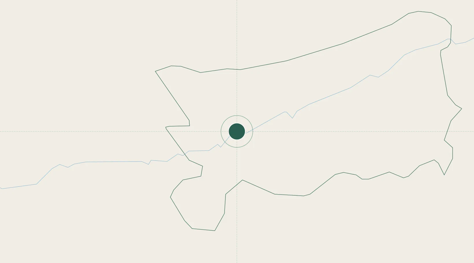
Hub Profile
Place type
Populated place
Region
Zacapa
Time zone
America/Guatemala
Elevation
224 m
Location
Nearby Logistics Neighbours
Cities
- 1El Rancho36 km
- 2El Progreso44 km
- 3Santa Lucia47 km
- 4El Carmen61 km
- 5Ocotepeque84 km
Ports
- 1Santo Tomas De Castilla137 km
- 2Puerto Barrios141 km
- 3Acajutla161 km
- 4Puerto Quetzal172 km
- 5Puerto Cortes207 km
Airports
- 1Coban Airport93 km
- 2La Aurora International Airport103 km
- 3Rubelsanto Airport136 km
- 4Puerto Barrios Airport142 km
- 5Punta Gorda Airport153 km
Trade Zones
- 1Zona Franca Cropa102 km
- 2Zona Franca Santa Ana112 km
- 3Zona Franca 10114 km
- 4Grupo Zeta Free Zone120 km
- 5Zona Franca Pipil127 km
DatabookThe Record of Consolidated Knowledge
Guatemala beyond logistics?