Medium airport · Guatemala
Rubelsanto AirportMGRB
15.9920°, -90.4453°
4,690 ft
Longest runway
1
Runways
426 ft
Elevation
Runway & Layout

Radio Frequencies
RDO
122.9 MHz
Navaids
RUB NDB Rubelsanto 260 kHz
Runways · 1
| Runway | Dimensions | Surface | True heading | Lit |
|---|---|---|---|---|
| 08/26 | 4,690 × 70ft | Asphalt | 088° | — |
Airport Specifications
IATA code
RUV
ICAO code
MGRB
Airport class
Medium airport
Scheduled service
No
Runway surface
Asphalt
Served city
Rubelsanto
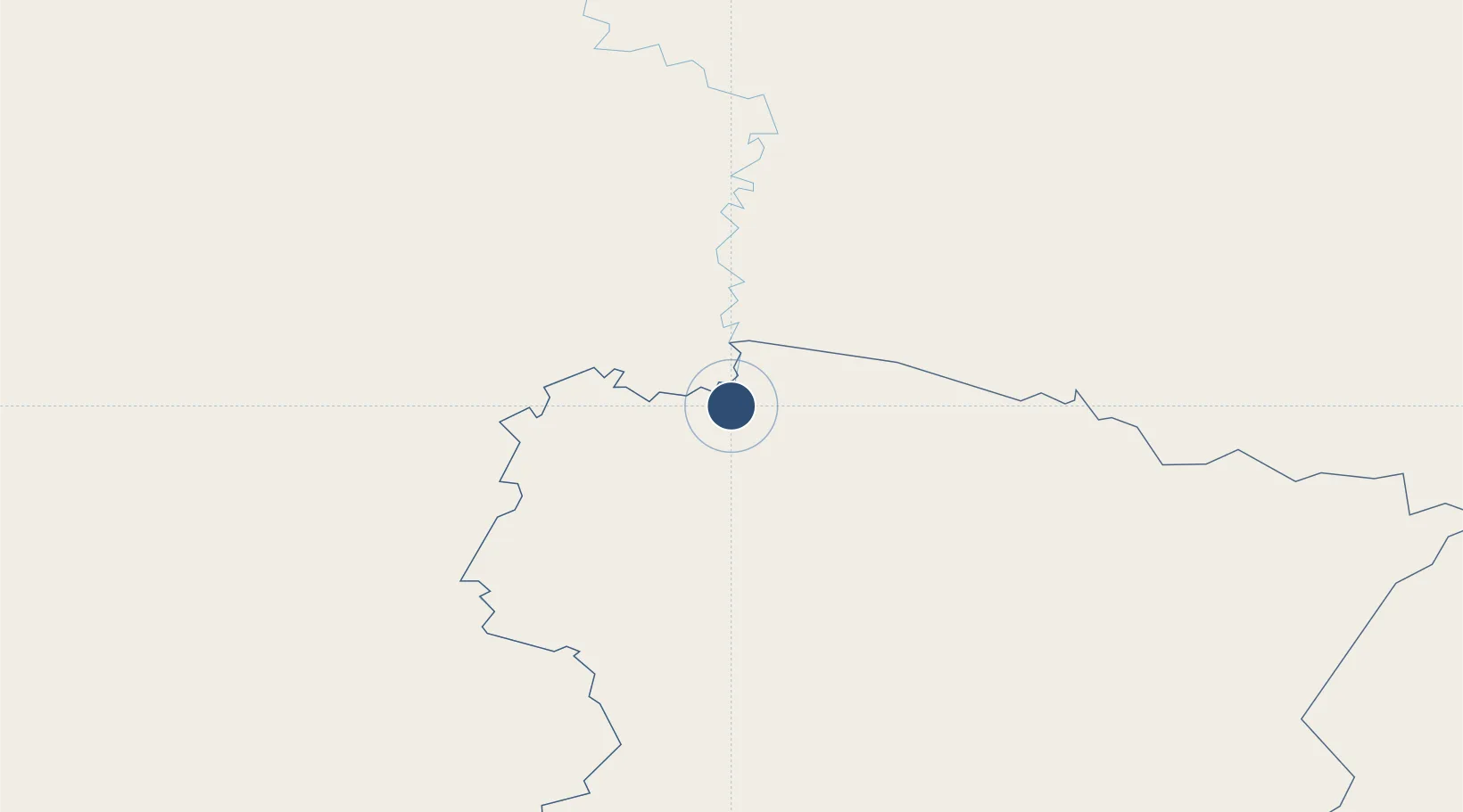
Location
Nearby Logistics Neighbours
Airports
- 1Coban Airport58 km
- 2Mundo Maya International Airport120 km
- 3Huehuetenango Airport136 km
- 4La Aurora International Airport157 km
- 5Quezaltenango Airport169 km
Cities
- 1La Libertad Peten95 km
- 2El Carmen96 km
- 3Petén117 km
- 4El Rancho131 km
- 5Santa Cruz del Quiche132 km
Ports
- 1Santo Tomas De Castilla198 km
- 2Puerto Barrios200 km
- 3Big Creek226 km
- 4Puerto Quetzal234 km
- 5Puerto Madero259 km
Trade Zones
- 1Zona Franca Cropa155 km
- 2Grupo Zeta Free Zone172 km
- 3Santo Tomas de Castillo Free Zone200 km
- 4Zona Franca 10237 km
- 5Zona Franca Santa Ana240 km
DatabookThe Record of Consolidated Knowledge
Guatemala beyond logistics?