Transport Functions
Rail
Road
Multimodal
Hub Profile
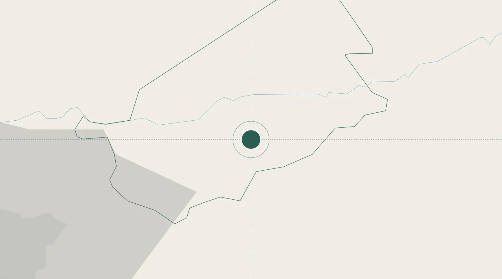
Place type
Populated place
Region
Baja Verapaz
Time zone
America/Guatemala
Elevation
902 m
Location
Nearby Logistics Neighbours
Cities
- 1Santa Lucia4 km
- 2El Rancho8 km
- 3El Carmen39 km
- 4Santa Cruz44 km
- 5Boca del Monte60 km
Ports
- 1Puerto Quetzal132 km
- 2Acajutla142 km
- 3Santo Tomas De Castilla181 km
- 4Puerto Barrios184 km
- 5Puerto Cortes250 km
Airports
- 1La Aurora International Airport59 km
- 2Coban Airport79 km
- 3San José Airport132 km
- 4Rubelsanto Airport134 km
- 5Quezaltenango Airport156 km
Trade Zones
- 1Zona Franca Cropa59 km
- 2Grupo Zeta Free Zone77 km
- 3Zona Franca 10103 km
- 4Zona Franca Santa Ana108 km
- 5Zona Franca Pipil129 km
DatabookThe Record of Consolidated Knowledge
Guatemala beyond logistics?