Transport Functions
Port
Hub Profile
Place type
Populated place
Region
Baja Verapaz
Time zone
America/Guatemala
Elevation
1,148 m
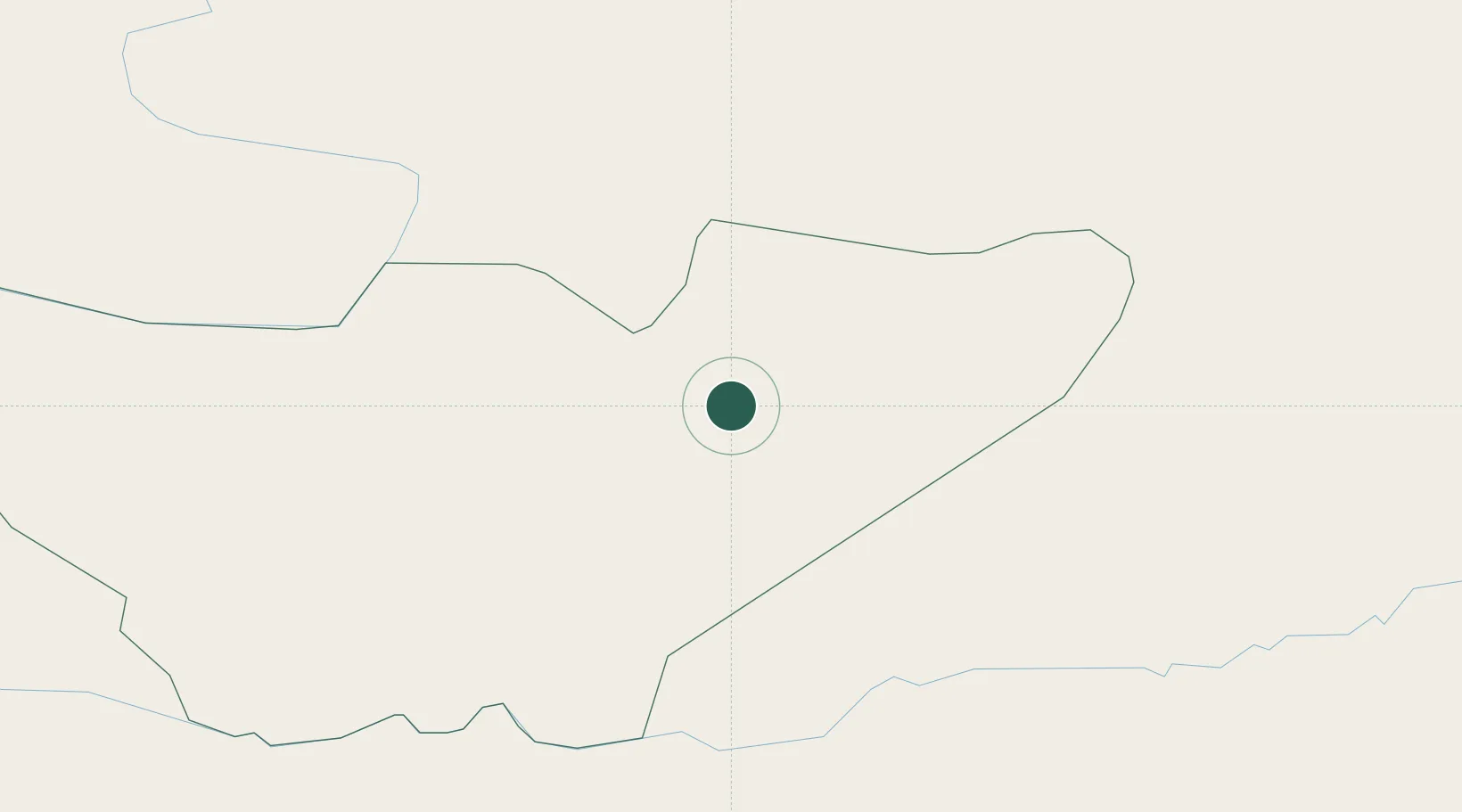
Location
Nearby Logistics Neighbours
Cities
- 1Santa Lucia37 km
- 2El Rancho37 km
- 3El Progreso39 km
- 4Santa Cruz61 km
- 5Boca del Monte73 km
Ports
- 1Puerto Quetzal150 km
- 2Acajutla179 km
- 3Santo Tomas De Castilla184 km
- 4Puerto Barrios187 km
- 5Puerto Madero243 km
Airports
- 1Coban Airport40 km
- 2La Aurora International Airport71 km
- 3Rubelsanto Airport96 km
- 4Huehuetenango Airport138 km
- 5Quezaltenango Airport140 km
Trade Zones
- 1Zona Franca Cropa69 km
- 2Grupo Zeta Free Zone88 km
- 3Zona Franca 10142 km
- 4Zona Franca Santa Ana147 km
- 5Zona Franca Pipil167 km
DatabookThe Record of Consolidated Knowledge
Guatemala beyond logistics?