Transport Functions
Multimodal
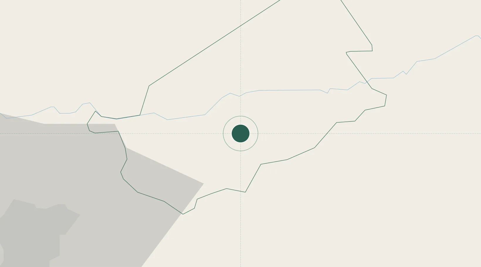
Hub Profile
Place type
Populated place
Region
El Progreso
Time zone
America/Guatemala
Elevation
495 m
Location
Nearby Logistics Neighbours
Cities
- 1El Progreso4 km
- 2El Rancho11 km
- 3El Carmen37 km
- 4Santa Cruz47 km
- 5Boca del Monte57 km
Ports
- 1Puerto Quetzal129 km
- 2Acajutla143 km
- 3Santo Tomas De Castilla184 km
- 4Puerto Barrios187 km
- 5Puerto Cortes254 km
Airports
- 1La Aurora International Airport56 km
- 2Coban Airport77 km
- 3San José Airport130 km
- 4Rubelsanto Airport133 km
- 5Quezaltenango Airport153 km
Trade Zones
- 1Zona Franca Cropa56 km
- 2Grupo Zeta Free Zone74 km
- 3Zona Franca 10105 km
- 4Zona Franca Santa Ana110 km
- 5Zona Franca Pipil131 km
DatabookThe Record of Consolidated Knowledge
Guatemala beyond logistics?