Transport Functions
Port
Hub Profile
Place type
District seat
Region
Central Macedonia
Population
3,266
Time zone
Europe/Athens
Elevation
6 m
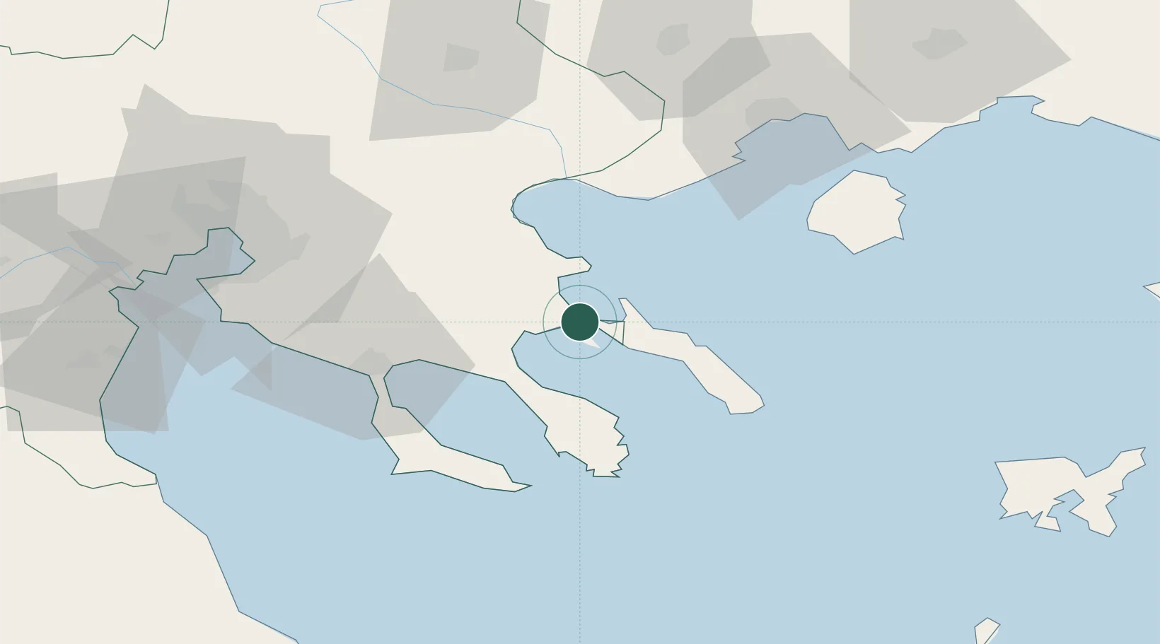
Location
Nearby Logistics Neighbours
Cities
- 1Trypiti Chalkidikis3 km
- 2Amolianí6 km
- 3Ammoulianí8 km
- 4Ouranópolis11 km
- 5Moní Vatopedíou28 km
Ports
- 1Stratoni15 km
- 2Yerakini38 km
- 3Kavala75 km
- 4Thessaloniki85 km
- 5Lagos126 km
Airports
Trade Zones
- 1Free Zone of Thessaloniki86 km
- 2TIDZ Gevgelija148 km
- 3TIDZ Strumica150 km
- 4TIDZ Berovo171 km
- 5TIDZ Radoviš183 km
DatabookThe Record of Consolidated Knowledge
Greece beyond logistics?