Transport Functions
Port
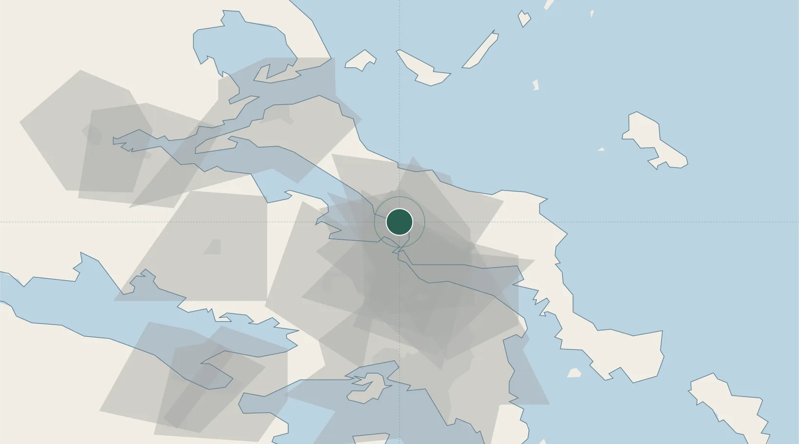
Location
Nearby Logistics Neighbours
Cities
- 1Psakhná3 km
- 2Politiká5 km
- 3Néa Artáki6 km
- 4Chalkida11 km
- 5Lefkandi18 km
Ports
- 1Kymassi32 km
- 2Ormos Aliveriou44 km
- 3Megara Oil Terminal69 km
- 4Piraievs71 km
- 5Achladi77 km
Airports
Trade Zones
- 1Free Zone of Piraeus69 km
- 2Free Zone of Platigiali (Astakos Etoloakarnanias)218 km
- 3Free Zone of Thessaloniki237 km
- 4TIDZ Gevgelija307 km
- 5TIDZ Strumica323 km
DatabookThe Record of Consolidated Knowledge
Greece beyond logistics?