Transport Functions
Port
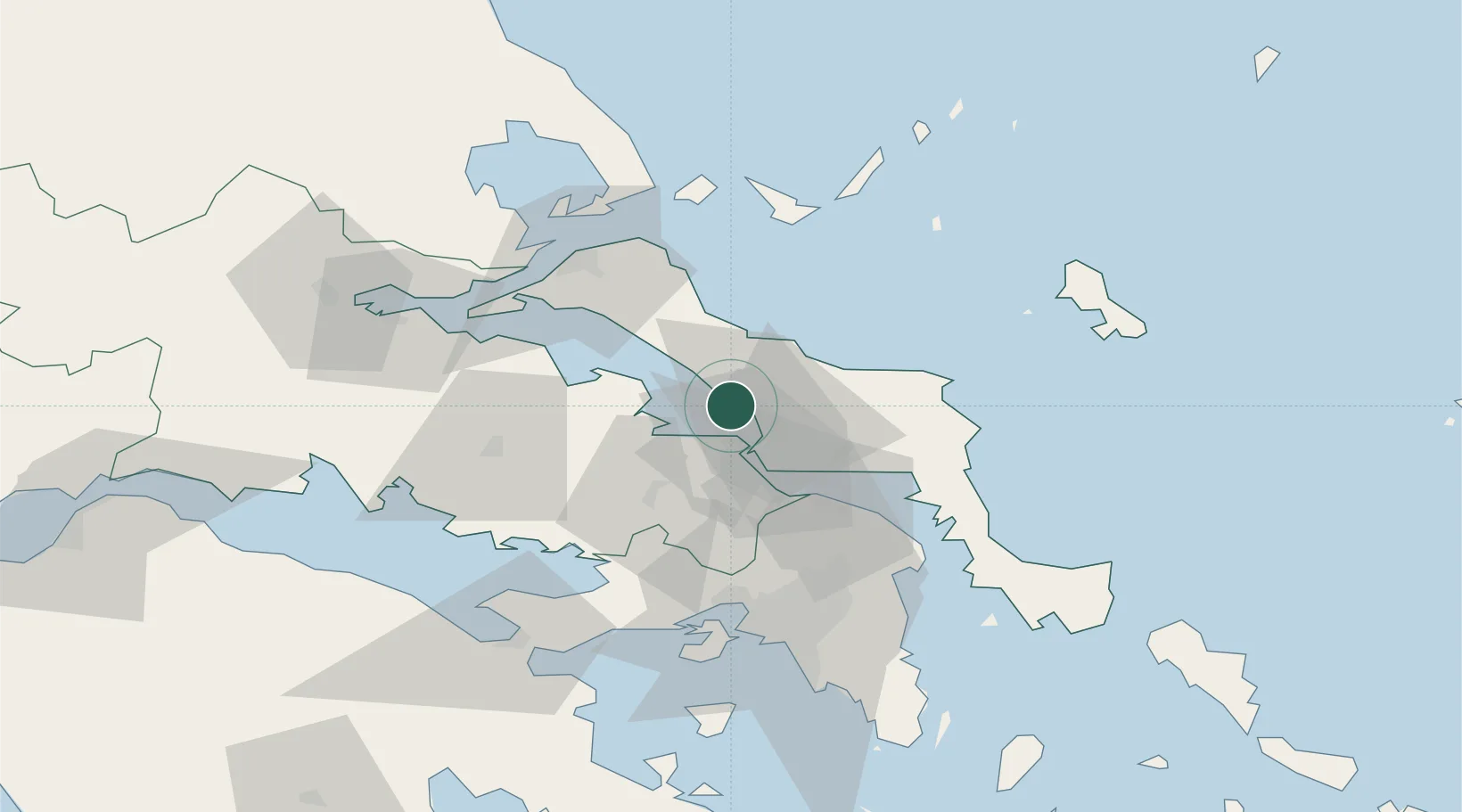
Hub Profile
Place type
Populated place
Region
Central Greece
Population
1,498
Time zone
Europe/Athens
Elevation
47 m
Location
Nearby Logistics Neighbours
Cities
- 1Vrisákia5 km
- 2Psakhná7 km
- 3Néa Artáki10 km
- 4Chalkida13 km
- 5Avlida21 km
Ports
- 1Kymassi29 km
- 2Ormos Aliveriou49 km
- 3Megara Oil Terminal70 km
- 4Achladi73 km
- 5Piraievs73 km
Airports
Trade Zones
- 1Free Zone of Piraeus71 km
- 2Free Zone of Platigiali (Astakos Etoloakarnanias)213 km
- 3Free Zone of Thessaloniki234 km
- 4TIDZ Gevgelija304 km
- 5TIDZ Strumica320 km
DatabookThe Record of Consolidated Knowledge
Greece beyond logistics?