UN/LOCODE hub · Greece
GRCLK

Chalkida

38.4667°, 23.5833°
59,125
Population
1
Transport functions

Transport Functions

Port
UN/LOCODE

Hub Profile

Place type
Provincial seat
GeoNames
Region
Central Greece
GeoNames
Population
59,125
GeoNames
Time zone
Europe/Athens
GeoNames
Elevation
22 m
GeoNames

Location

Location of GRCLK
Natural Earth 10m (public domain) · Central Greece · GRCLK · 38.47, 23.58GoogleOSMYandex

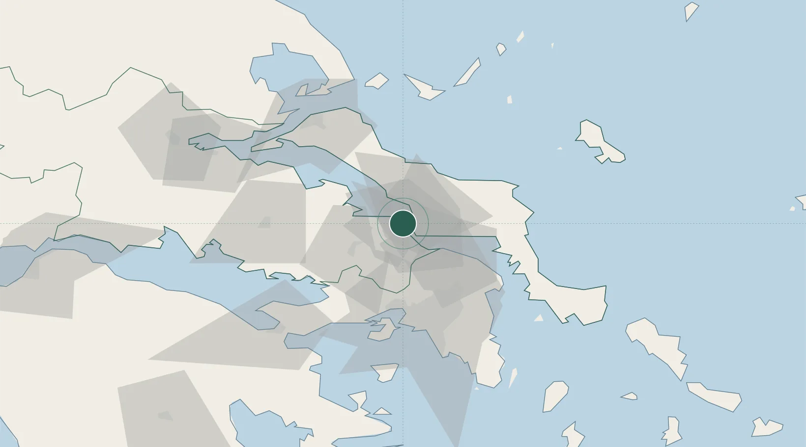
Nearby Logistics Neighbours

Cities
  1. 1Néa Artáki7 km
  2. 2Avlida8 km
  3. 3Vathi8 km
  4. 4Lefkandi10 km
  5. 5Vrisákia11 km
Nearest neighbours — logibook spatial index (haversine) over the source coordinates
Ports
  1. 1Ormos Aliveriou42 km
  2. 2Kymassi42 km
  3. 3Megara Oil Terminal58 km
  4. 4Piraievs60 km
  5. 5Achladi82 km
Nearest neighbours — logibook spatial index (haversine) over the source coordinates
Airports
  1. 1Tanagra Air Base14 km
  2. 2Elefsis Air Base45 km
  3. 3Athens Eleftherios Venizelos International Airport67 km
  4. 4Skiathos Island National Airport79 km
  5. 5Skiros Airport96 km
Nearest neighbours — logibook spatial index (haversine) over the source coordinates
Trade Zones
  1. 1Free Zone of Piraeus58 km
  2. 2Free Zone of Platigiali (Astakos Etoloakarnanias)216 km
  3. 3Free Zone of Thessaloniki248 km
  4. 4TIDZ Gevgelija318 km
  5. 5TIDZ Strumica334 km
Nearest neighbours — logibook spatial index (haversine) over the source coordinates
DatabookThe Record of Consolidated Knowledge
Greece beyond logistics?
Browse databook

All Sources

LocationsUN/LOCODE
UN/LOCODE — free
LocationsGeoNames
CC BY 4.0
Portsthe NGA World Port Index
Public domain (US gov)
AirportsOurAirports
Public domain
Trade Zonesthe World Bank SEZ database
CC BY 4.0
Trade ZonesOpen Zone Map
CC BY
← Greece locations