Transport Functions
Port
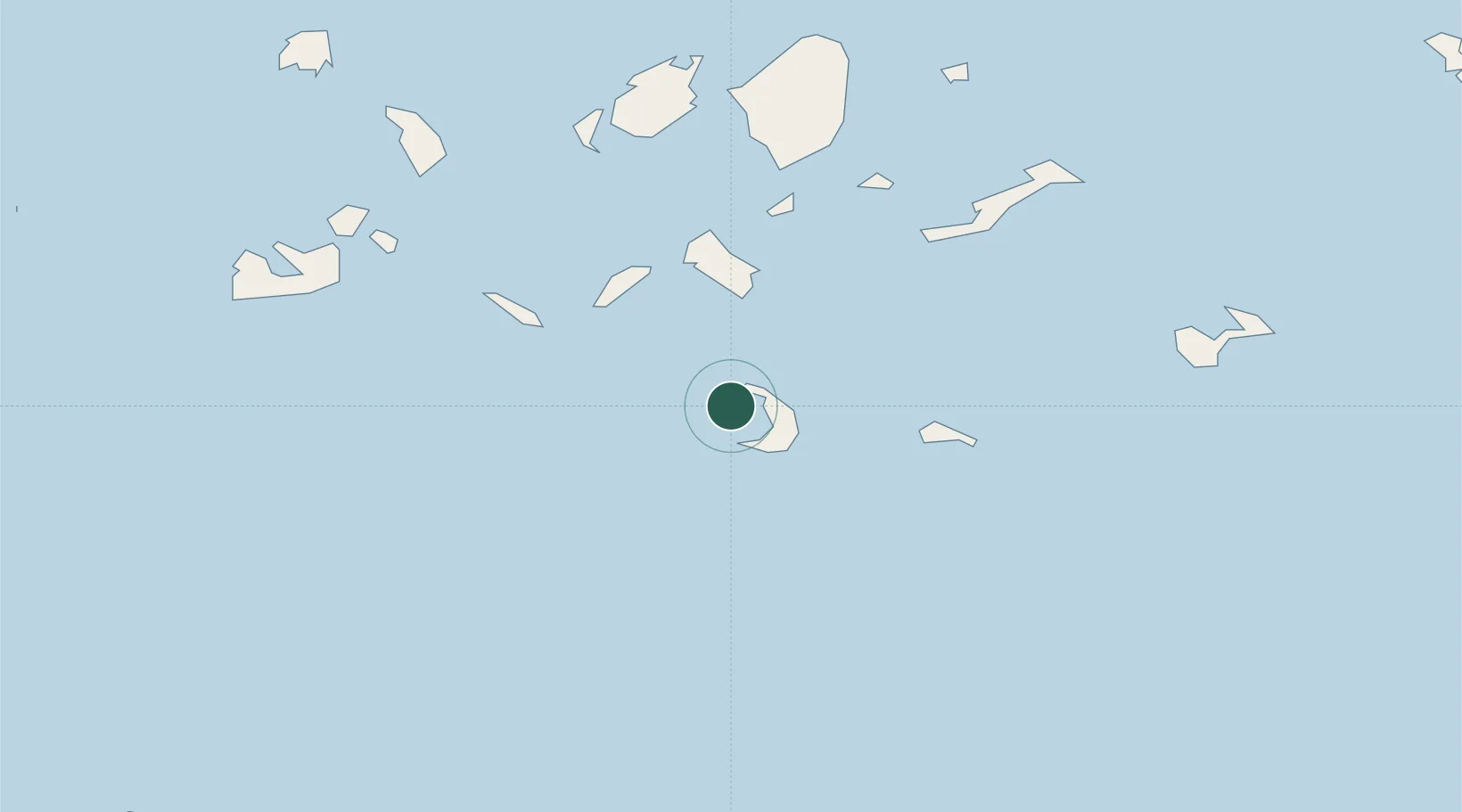
Location
Nearby Logistics Neighbours
Cities
- 1Oia Kyklades5 km
- 2Thíra8 km
- 3Athinios Thira Santorini8 km
- 4Ios32 km
- 5Sikinos36 km
Ports
- 1Nisos Naxos74 km
- 2Milos86 km
- 3Mikonos113 km
- 4Limin Sirou117 km
- 5Iraklion122 km
Airports
- 1Santorini International Airport12 km
- 2Paros National Airport69 km
- 3Naxos Island National Airport72 km
- 4Milos Airport83 km
- 5Astypalaia Airport93 km
Trade Zones
- 1Free Zone of Heraklion139 km
- 2Free Zone of Piraeus228 km
- 3Aegean Free Zone264 km
- 4Izmir Ataturk Organized Industrial Zone273 km
- 5Izmir Free Zone280 km
DatabookThe Record of Consolidated Knowledge
Greece beyond logistics?