UN/LOCODE hub · Greece
GRATN

Athinios Thira Santorini

36.3833°, 25.4167°
1
Transport functions

Transport Functions

Port
UN/LOCODE

Hub Profile

Region
82
GeoNames

Location

Location of GRATN
Natural Earth 10m (public domain) · 82 · GRATN · 36.38, 25.42GoogleOSMYandex

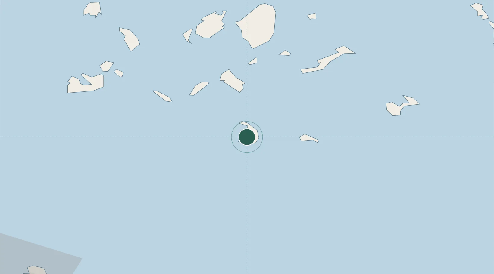
Nearby Logistics Neighbours

Cities
  1. 1Thíra4 km
  2. 2Thirasía8 km
  3. 3Oia Kyklades10 km
  4. 4Anáfi32 km
  5. 5Ios39 km
Nearest neighbours — logibook spatial index (haversine) over the source coordinates
Ports
  1. 1Nisos Naxos80 km
  2. 2Milos94 km
  3. 3Iraklion117 km
  4. 4Mikonos119 km
  5. 5Limin Sirou124 km
Nearest neighbours — logibook spatial index (haversine) over the source coordinates
Airports
  1. 1Santorini International Airport6 km
  2. 2Paros National Airport76 km
  3. 3Naxos Island National Airport78 km
  4. 4Astypalaia Airport89 km
  5. 5Milos Airport91 km
Nearest neighbours — logibook spatial index (haversine) over the source coordinates
Trade Zones
  1. 1Free Zone of Heraklion135 km
  2. 2Free Zone of Piraeus236 km
  3. 3Aegean Free Zone265 km
  4. 4Izmir Ataturk Organized Industrial Zone275 km
  5. 5Tire Organized Industrial Zone280 km
Nearest neighbours — logibook spatial index (haversine) over the source coordinates
DatabookThe Record of Consolidated Knowledge
Greece beyond logistics?
Browse databook

All Sources

LocationsUN/LOCODE
UN/LOCODE — free
Portsthe NGA World Port Index
Public domain (US gov)
AirportsOurAirports
Public domain
Trade Zonesthe World Bank SEZ database
CC BY 4.0
Trade ZonesOpen Zone Map
CC BY
← Greece locations