Transport Functions
Port
Hub Profile
Place type
District seat
Region
South Aegean
Time zone
Europe/Athens
Elevation
101 m
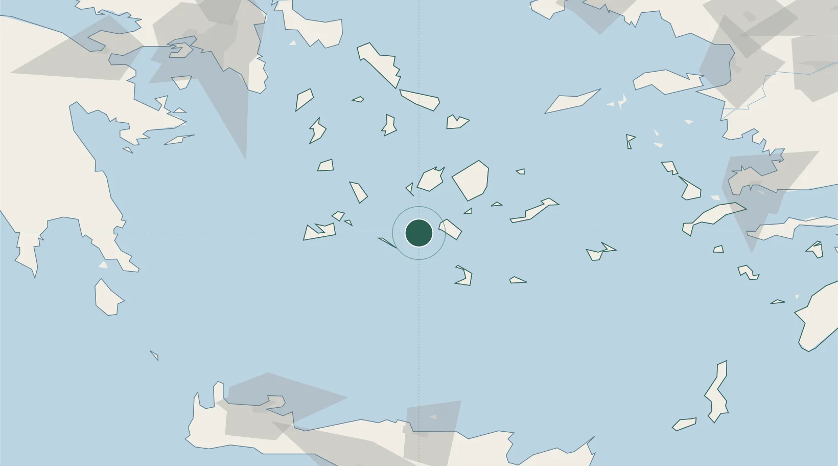
Location
Nearby Logistics Neighbours
Cities
- 1Ios14 km
- 2Folégandros18 km
- 3Oia Kyklades35 km
- 4Thirasía36 km
- 5Herakleia Kykladon36 km
Ports
- 1Nisos Naxos50 km
- 2Milos60 km
- 3Limin Sirou83 km
- 4Mikonos86 km
- 5Andros127 km
Airports
- 1Paros National Airport36 km
- 2Santorini International Airport47 km
- 3Naxos Island National Airport48 km
- 4Milos Airport57 km
- 5Syros Airport82 km
Trade Zones
- 1Free Zone of Heraklion167 km
- 2Free Zone of Piraeus192 km
- 3Aegean Free Zone254 km
- 4Izmir Ataturk Organized Industrial Zone261 km
- 5Izmir Free Zone266 km
DatabookThe Record of Consolidated Knowledge
Greece beyond logistics?