Transport Functions
Port
Airport
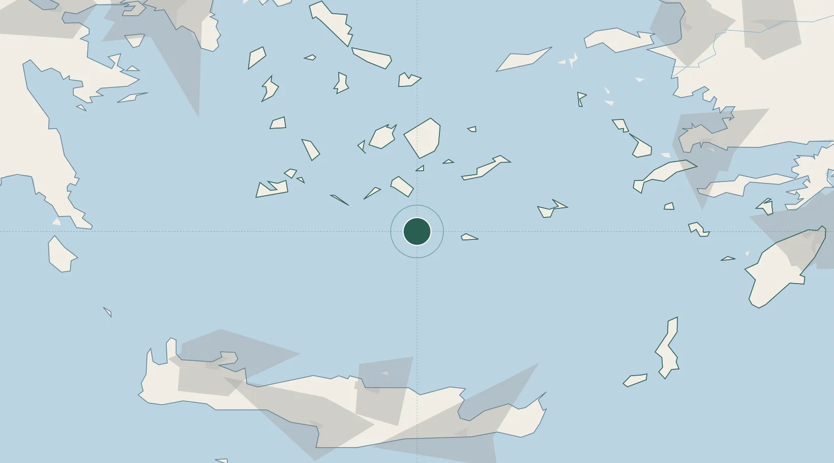
Location
Nearby Logistics Neighbours
Cities
- 1Athinios Thira Santorini4 km
- 2Oia Kyklades7 km
- 3Thirasía8 km
- 4Anáfi31 km
- 5Ios37 km
Ports
- 1Nisos Naxos76 km
- 2Milos94 km
- 3Mikonos115 km
- 4Limin Sirou121 km
- 5Iraklion121 km
Airports
- 1Santorini International Airport5 km
- 2Paros National Airport73 km
- 3Naxos Island National Airport74 km
- 4Astypalaia Airport86 km
- 5Milos Airport91 km
Trade Zones
- 1Free Zone of Heraklion139 km
- 2Free Zone of Piraeus234 km
- 3Aegean Free Zone261 km
- 4Izmir Ataturk Organized Industrial Zone271 km
- 5Tire Organized Industrial Zone276 km
DatabookThe Record of Consolidated Knowledge
Greece beyond logistics?