Transport Functions
Port
Hub Profile
Place type
District seat
Region
South Aegean
Population
2,024
Time zone
Europe/Athens
Elevation
140 m
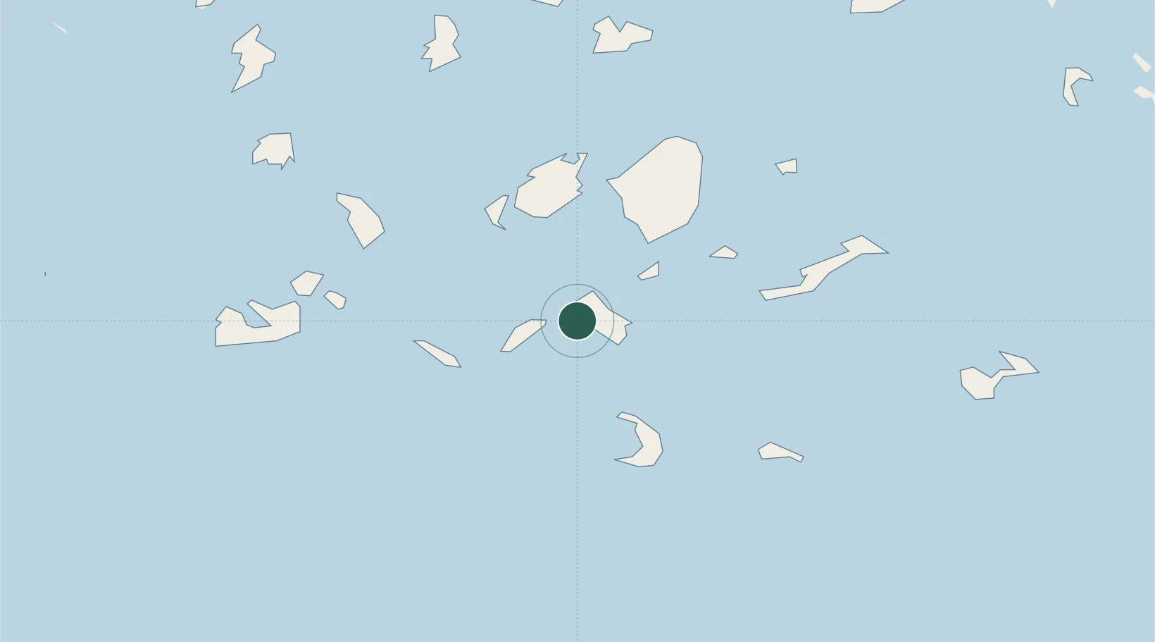
Location
Nearby Logistics Neighbours
Cities
- 1Sikinos14 km
- 2Herakleia Kykladon24 km
- 3Schinousa Kykladon27 km
- 4Oia Kyklades30 km
- 5Folégandros30 km
Ports
- 1Nisos Naxos44 km
- 2Milos73 km
- 3Mikonos82 km
- 4Limin Sirou85 km
- 5Andros127 km
Airports
Trade Zones
- 1Free Zone of Heraklion169 km
- 2Free Zone of Piraeus200 km
- 3Aegean Free Zone244 km
- 4Izmir Ataturk Organized Industrial Zone252 km
- 5Izmir Free Zone257 km
DatabookThe Record of Consolidated Knowledge
Greece beyond logistics?