UN/LOCODE hub · Greece
GRSMT

Schimatarion

38.3422°, 23.6027°
2
Transport functions

Transport Functions

Rail
Road
UN/LOCODE

Hub Profile

Logistics facilities
1
UN/LOCODE

Location

Location of GRSMT
Natural Earth 10m (public domain) · Stereá Elláda · GRSMT · 38.34, 23.60GoogleOSMYandex

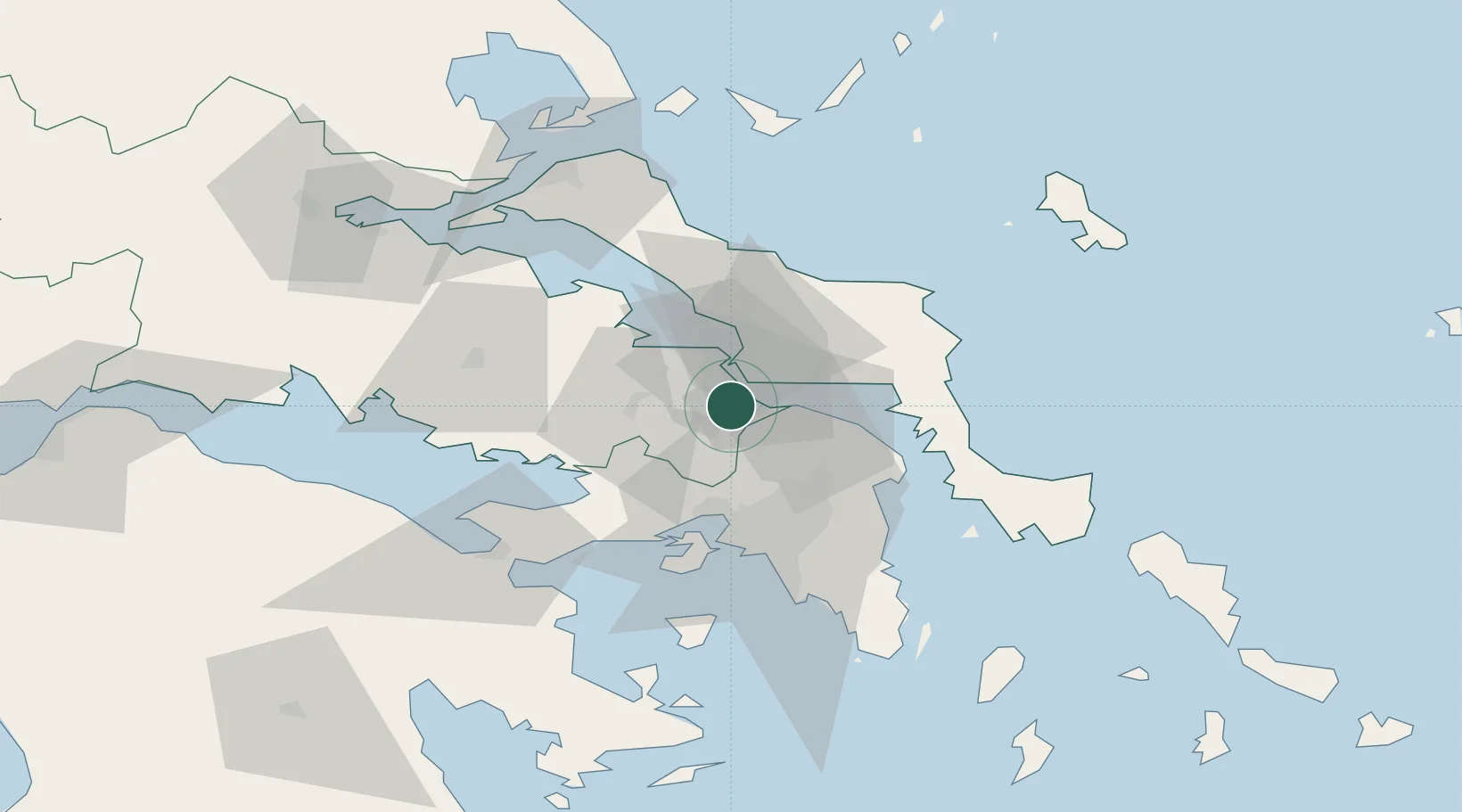
Nearby Logistics Neighbours

Cities
  1. 1Oinófita3 km
  2. 2Avlida6 km
  3. 3Vathi6 km
  4. 4Lefkandi11 km
  5. 5Chalkida14 km
Nearest neighbours — logibook spatial index (haversine) over the source coordinates
Ports
  1. 1Ormos Aliveriou39 km
  2. 2Megara Oil Terminal45 km
  3. 3Piraievs46 km
  4. 4Kymassi56 km
  5. 5Lavrio82 km
Nearest neighbours — logibook spatial index (haversine) over the source coordinates
Airports
  1. 1Tanagra Air Base3 km
  2. 2Elefsis Air Base31 km
  3. 3Athens Eleftherios Venizelos International Airport54 km
  4. 4Skiathos Island National Airport93 km
  5. 5Skiros Airport104 km
Nearest neighbours — logibook spatial index (haversine) over the source coordinates
Trade Zones
  1. 1Free Zone of Piraeus44 km
  2. 2Free Zone of Platigiali (Astakos Etoloakarnanias)219 km
  3. 3Free Zone of Thessaloniki262 km
  4. 4TIDZ Gevgelija331 km
  5. 5TIDZ Strumica347 km
Nearest neighbours — logibook spatial index (haversine) over the source coordinates
DatabookThe Record of Consolidated Knowledge
Greece beyond logistics?
Browse databook

All Sources

LocationsUN/LOCODE
UN/LOCODE — free
Portsthe NGA World Port Index
Public domain (US gov)
AirportsOurAirports
Public domain
Trade Zonesthe World Bank SEZ database
CC BY 4.0
Trade ZonesOpen Zone Map
CC BY
← Greece locations