Transport Functions
Port
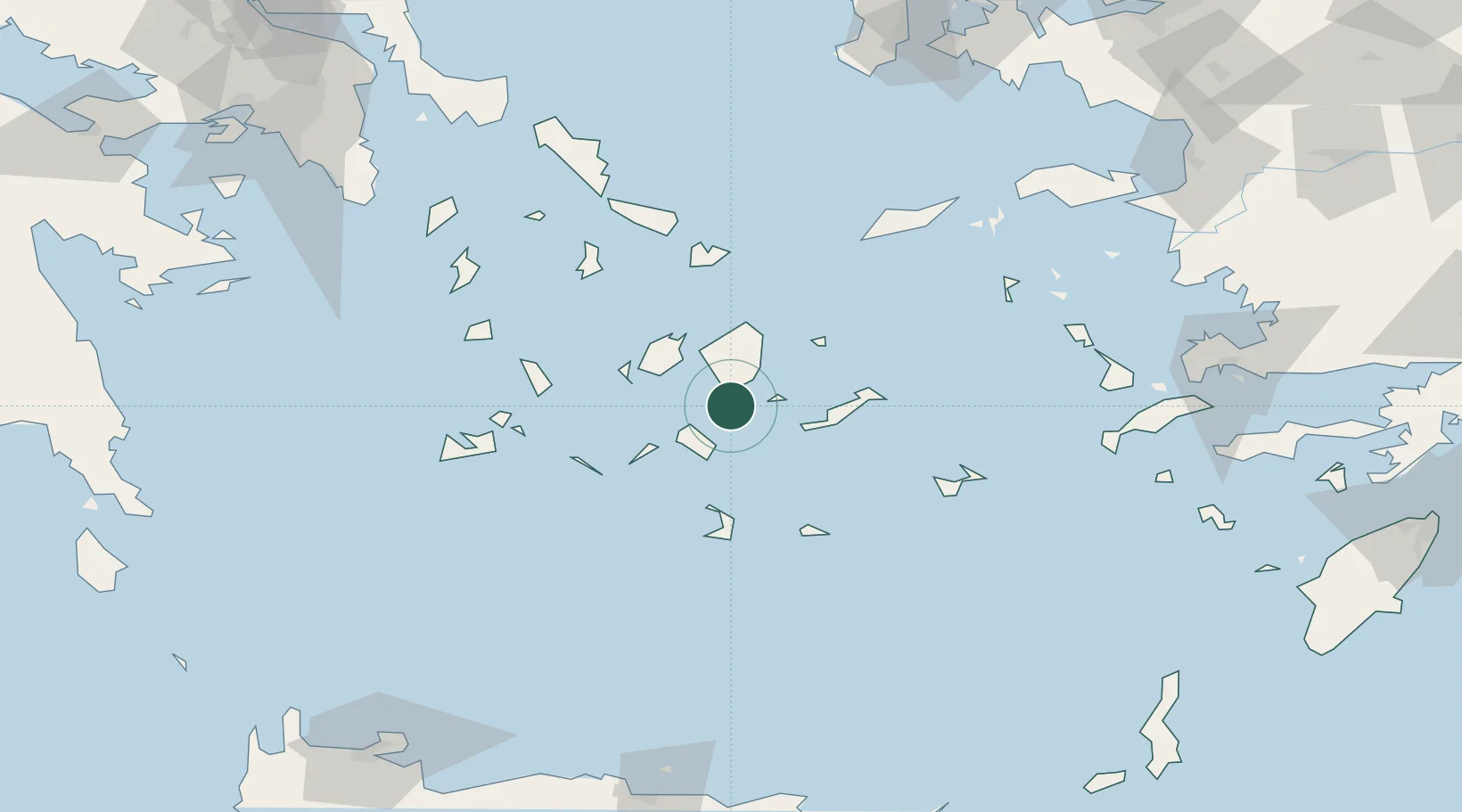
Location
Nearby Logistics Neighbours
Cities
- 1Schinousa Kykladon3 km
- 2Koufonissia Kykladon14 km
- 3Ios24 km
- 4Moutsoúna26 km
- 5Náxos27 km
Ports
- 1Nisos Naxos27 km
- 2Mikonos66 km
- 3Limin Sirou78 km
- 4Milos92 km
- 5Andros117 km
Airports
Trade Zones
- 1Free Zone of Heraklion188 km
- 2Free Zone of Piraeus203 km
- 3Aegean Free Zone219 km
- 4Izmir Ataturk Organized Industrial Zone227 km
- 5Izmir Free Zone233 km
DatabookThe Record of Consolidated Knowledge
Greece beyond logistics?