Transport Functions
Port
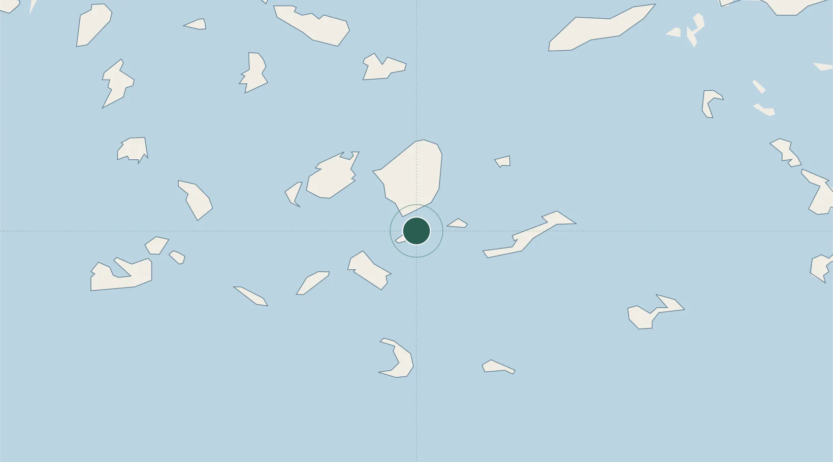
Location
Nearby Logistics Neighbours
Cities
- 1Herakleia Kykladon3 km
- 2Koufonissia Kykladon12 km
- 3Moutsoúna25 km
- 4Ios27 km
- 5Náxos28 km
Ports
- 1Nisos Naxos29 km
- 2Mikonos67 km
- 3Limin Sirou80 km
- 4Milos95 km
- 5Andros118 km
Airports
Trade Zones
- 1Free Zone of Heraklion189 km
- 2Free Zone of Piraeus205 km
- 3Aegean Free Zone217 km
- 4Izmir Ataturk Organized Industrial Zone226 km
- 5Izmir Free Zone232 km
DatabookThe Record of Consolidated Knowledge
Greece beyond logistics?